Flooding in and around rivers
Catchment restoration and natural flood management. Flood-channel works in Kashmir need local hydraulic and authority review; benefits are site-dependent.
KVI-10 · Rivers & springs
Document changes to selected extraction reaches and fish habitat to support evidence-based restoration discussions.
UNDERSTANDING THE ISSUE
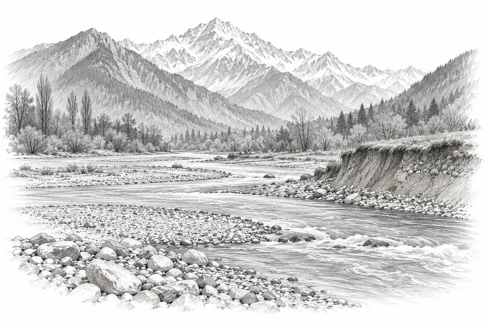
Sand and gravel extraction can alter riverbed form and aquatic habitat. Jhelum research provides a local basis for investigation; permitted activity, actual extraction, channel change and ecological effects need to be distinguished reach by reach.
The first phase would turn this broad issue into a bounded site investigation. Current condition, the cause of change and an accountable local partnership would guide whether an intervention is appropriate.
Flow, water quality and habitat connections need to be understood together.
Water users and land managers hold knowledge essential to a workable project.
A single visit cannot describe a river or spring through its annual cycle.
PROPOSED APPROACH
Document changes to selected extraction reaches and fish habitat to support evidence-based restoration discussions.
Compare historical imagery, extraction records and present channel and fish-habitat observations.
Prepare an evidence brief and restoration options with river, fisheries and responsible extraction authorities.
Track bed form, habitat and water conditions without assuming every observed change has one cause.
Compare historical imagery, extraction records and present channel and fish-habitat observations. Keep methods, dates, source records and unresolved questions together.
Prepare an evidence brief and restoration options with river, fisheries and responsible extraction authorities. Identify responsibilities, permissions, costs and continuing care before proceeding.
Track bed form, habitat and water conditions without assuming every observed change has one cause. State what would count as success, failure or a reason to change course.
Local evidence
A locally relevant topic is documented by a cited source; current severity and site feasibility remain unassessed.
River Jhelum, NW Kashmir
Publisher indexed abstract checked. Reference checked 2026-10-30. Site, time period and methods limit how this evidence can be applied to a new project.
These references offer methods to assess locally. They do not establish what will work at a selected Kashmir site.
Catchment restoration and natural flood management. Flood-channel works in Kashmir need local hydraulic and authority review; benefits are site-dependent.
Stream connectivity and barrier assessment. Transfer habitat assessment methods, not non-native trout stocking. Reconnection can spread invasive species and needs screening.
KVI-09 Local evidence
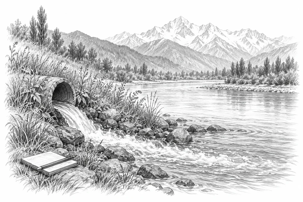
Build a drain-to-river inventory for a defined reach and follow the dominant pollution sources through to treatment options.
Explore the opportunity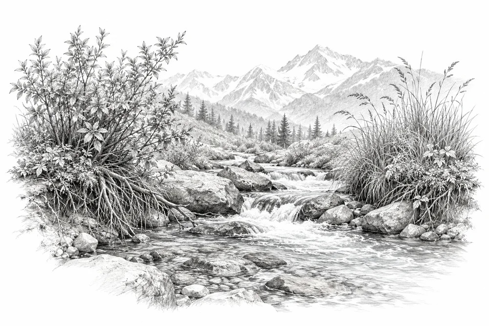
KVI-11 Local evidence
Develop native riparian habitat pilots from local reference vegetation, while retaining channel and flood safety.
Explore the opportunity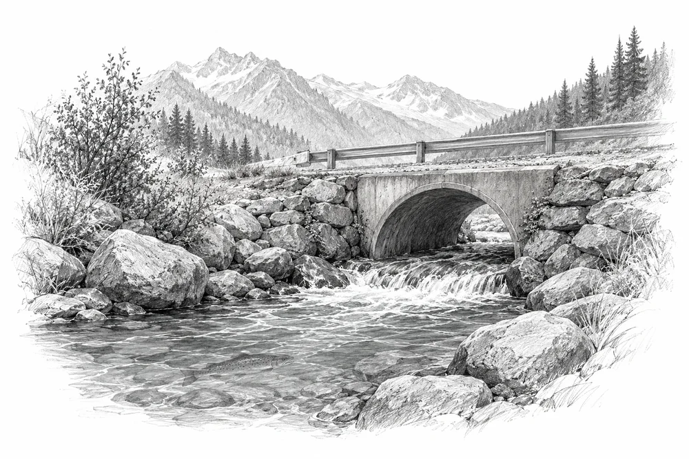
KVI-12 To investigate
Screen diversions, culverts and other barriers for ecological effects before proposing reconnection or flow work.
Explore the opportunityThis is a research and project proposal. The illustration is an editorial concept, not evidence of current site conditions or completed work.