International Standards for the Practice of Ecological Restoration
Reference ecosystems, recovery attributes and monitoring. A framework, not evidence that a particular intervention works at a Kashmir site.
KVI-34 · Wildlife & connectivity
Identify recurring roadkill locations and work with road and wildlife authorities on tested mitigation.
UNDERSTANDING THE ISSUE
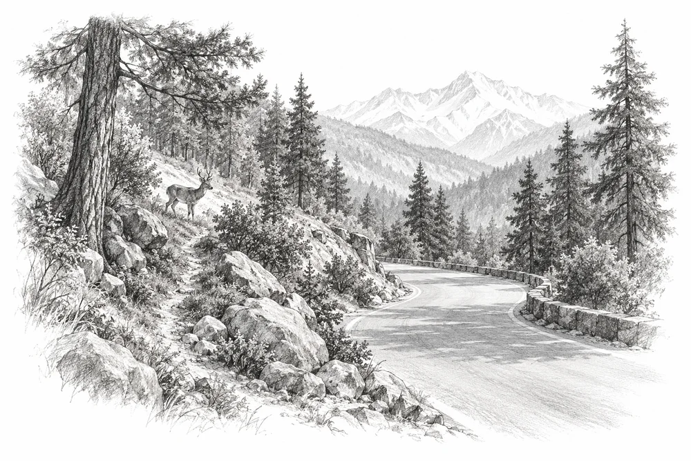
A survey on a Kashmir road documents wildlife mortality at the studied location. Roadkill reporting must account for search effort, carcass persistence and traffic before apparent clusters are treated as reliable hotspots.
The first phase would turn this broad issue into a bounded site investigation. Current condition, the cause of change and an accountable local partnership would guide whether an intervention is appropriate.
Habitat, movement and exposure differ between species and landscapes.
Local livelihoods and public safety are part of an effective conservation response.
Verified observations help direct effort while avoiding disturbance and protecting sensitive locations.
PROPOSED APPROACH
Identify recurring roadkill locations and work with road and wildlife authorities on tested mitigation.
Conduct a safe, repeatable road survey and review traffic and habitat context with the relevant authorities.
Evaluate a confirmed hotspot for an appropriate road-authority mitigation trial.
Compare mortality rates using consistent effort and assess any movement of risk along the road.
Conduct a safe, repeatable road survey and review traffic and habitat context with the relevant authorities. Keep methods, dates, source records and unresolved questions together.
Evaluate a confirmed hotspot for an appropriate road-authority mitigation trial. Identify responsibilities, permissions, costs and continuing care before proceeding.
Compare mortality rates using consistent effort and assess any movement of risk along the road. State what would count as success, failure or a reason to change course.
Local evidence
A locally relevant topic is documented by a cited source; current severity and site feasibility remain unassessed.
45 km Srinagar-Leh highway; March-August 2019
Publisher indexed abstract checked. Reference checked 2026-10-30. Site, time period and methods limit how this evidence can be applied to a new project.
These references offer methods to assess locally. They do not establish what will work at a selected Kashmir site.
Reference ecosystems, recovery attributes and monitoring. A framework, not evidence that a particular intervention works at a Kashmir site.
KVI-29 Local evidence
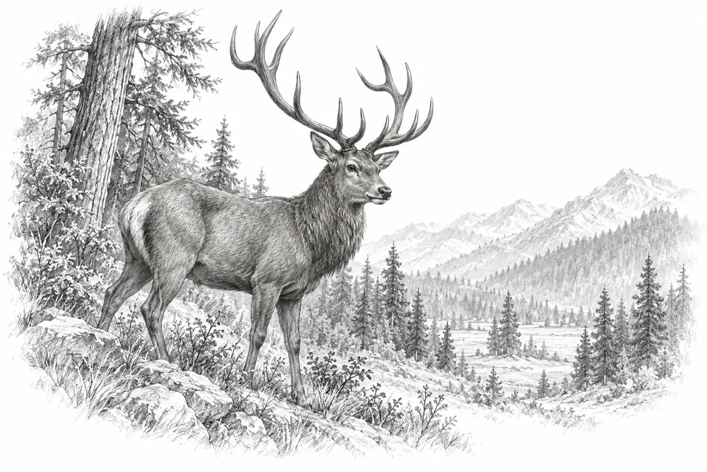
Support corridor and winter-habitat assessment with authorised partners, building on work already under way.
Explore the opportunity
KVI-30 Local evidence
Develop separate species-and-site briefs for markhor and other verified priority taxa within the agreed geography.
Explore the opportunity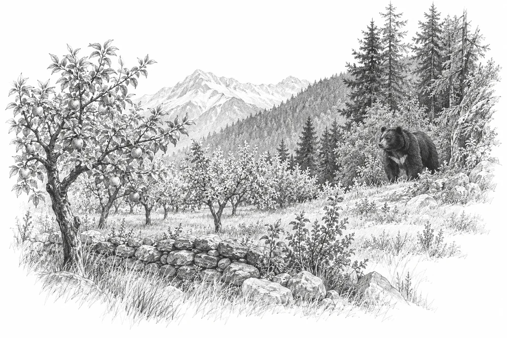
KVI-31 Local evidence
Map incidents and their causes, then test locally appropriate prevention with affected residents and wildlife specialists.
Explore the opportunityThis is a research and project proposal. The illustration is an editorial concept, not evidence of current site conditions or completed work.