Ecuador Water Funds
Source-water partnerships and long-term catchment funding. Transfer the stewardship and finance logic; do not transplant budgets or Andean species.
KVI-04 · Lakes & wetlands
Connect lake sediment problems to upstream erosion sources and develop a measured catchment treatment pilot.
UNDERSTANDING THE ISSUE
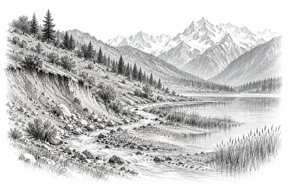
Sediment arriving from a catchment can change wetland depth and habitat. Site records identify sediment pressures, while catchment research shows why land cover matters; the amount attributable to a particular slope, drain or activity still needs measurement.
The first phase would turn this broad issue into a bounded site investigation. Current condition, the cause of change and an accountable local partnership would guide whether an intervention is appropriate.
Water depth, vegetation and clean inflows help shape the habitats available to freshwater life.
Conditions at a lake edge often reflect activities well beyond the water itself.
A useful response needs people who can care for the site and follow its condition over time.
PROPOSED APPROACH
Connect lake sediment problems to upstream erosion sources and develop a measured catchment treatment pilot.
Walk and map sediment pathways, inspect exposed soils and compare turbidity above and below suspected inputs.
Work with land users on one identified erosion source, with engineering advice where slope stability is involved.
Record ground cover, rainfall context and sediment indicators before and after treatment.
Walk and map sediment pathways, inspect exposed soils and compare turbidity above and below suspected inputs. Keep methods, dates, source records and unresolved questions together.
Work with land users on one identified erosion source, with engineering advice where slope stability is involved. Identify responsibilities, permissions, costs and continuing care before proceeding.
Record ground cover, rainfall context and sediment indicators before and after treatment. State what would count as success, failure or a reason to change course.
Local evidence
A locally relevant topic is documented by a cited source; current severity and site feasibility remain unassessed.
Hokera/Hokersar
Official indexed document excerpts checked. Reference checked 2026-10-30. Site, time period and methods limit how this evidence can be applied to a new project.
Hygam
Official indexed document excerpts checked. Reference checked 2026-10-30. Site, time period and methods limit how this evidence can be applied to a new project.
Upper Jhelum; 1980-2020 land-use modelling
Publisher indexed abstract checked. Reference checked 2026-10-30. Site, time period and methods limit how this evidence can be applied to a new project.
These references offer methods to assess locally. They do not establish what will work at a selected Kashmir site.
Source-water partnerships and long-term catchment funding. Transfer the stewardship and finance logic; do not transplant budgets or Andean species.
Community and farmer stewardship of soil, water and native vegetation. Institutions and species differ; retain local pastoral and farmer rights.
KVI-01 Local evidence
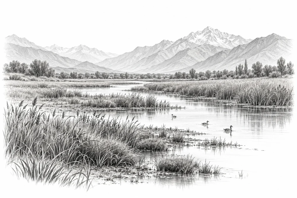
Understand where wetlands are being lost or altered, and where protection could begin.
Explore the opportunity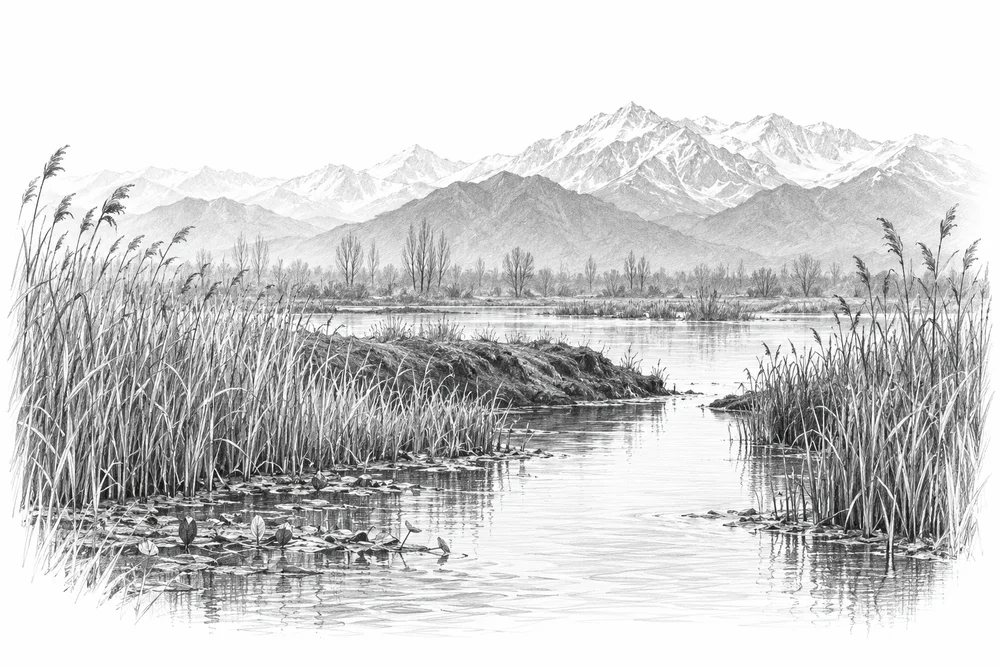
KVI-02 Local evidence
Identify blocked or altered connections and assess whether restoring seasonal water exchange would improve habitat.
Explore the opportunity
KVI-03 Local evidence
Trace nutrient inputs into selected lakes and test source reduction with the relevant communities and agencies.
Explore the opportunityThis is a research and project proposal. The illustration is an editorial concept, not evidence of current site conditions or completed work.