Think in connected habitats
Its flyways work treats migration sites as a network. For Kashmir, the useful principle is to assess how a wetland edge contributes to the wider habitat system.
KVI-01 · Lakes & wetlands
Understand where wetlands are being lost or altered, and where protection could begin.
UNDERSTANDING THE ISSUE
Wetlands change with the seasons. But filling, conversion and disrupted water connections can also change their edges and reduce the variety of habitats they support. In Kashmir, published research has documented fragmented and depleted floodplain wetlands, alongside sites with different patterns of change.
The first task is to understand what is happening at a particular wetland: which changes are seasonal, which reflect lasting habitat loss, and what is causing them. A clear baseline would help CCK choose a specific place where protection or repair could make a difference.
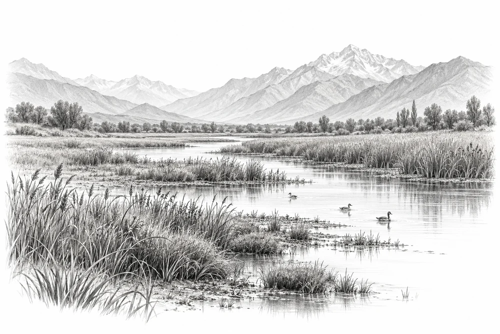
A wetland depends on the movement of water through its surrounding landscape.
Open water, shallow margins and reedbeds support different wildlife needs.
Wetland edges are also places of fishing, farming and everyday local use.
PROPOSED APPROACH
Begin with a named wetland and a manageable stretch of its edge. The first output would be a clear account of what is changing and why, followed by a practical response chosen with the people responsible for the place.
Compare historical imagery and seasonal water patterns. Record what the maps can show, and what needs checking on the ground.
Document changes at the edge, water connections and nearby land uses. Speak with local users and the responsible land managers.
Define one manageable site, a clear ecological purpose and who would care for it. Select a response only after the cause of change is understood.
A mapped extent, fixed photo points and a dated account of habitat condition.
The changes, possible causes and unresolved questions around one wetland edge.
An appropriate response, monitoring method and continuing-care arrangements.
Local evidence
The research supports investigating wetland change. The condition of a particular site still needs a current baseline.
Satellite assessment: 1984–2021
Publisher abstract reviewed. Regional and historical evidence; it does not establish current conditions at a selected site.
Designation-era information
Historical official record. The pressures and their present extent need checking again.
Site assessment: 2022
Site-specific official record. Findings must not be treated as measurements for every Kashmir wetland.
These references offer methods to assess locally. They do not establish what will work at a selected Kashmir site.
Its flyways work treats migration sites as a network. For Kashmir, the useful principle is to assess how a wetland edge contributes to the wider habitat system.
Its wetlands programme links habitat restoration and continuing care. CCK could adapt that planning approach to local water regimes and community needs.
KVI-02 Local evidence
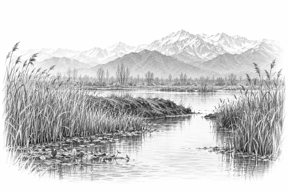
Identify blocked or altered connections and assess whether restoring seasonal water exchange would improve habitat.
Explore the opportunity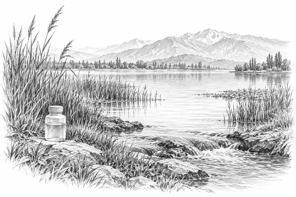
KVI-03 Local evidence
Trace nutrient inputs into selected lakes and test source reduction with the relevant communities and agencies.
Explore the opportunity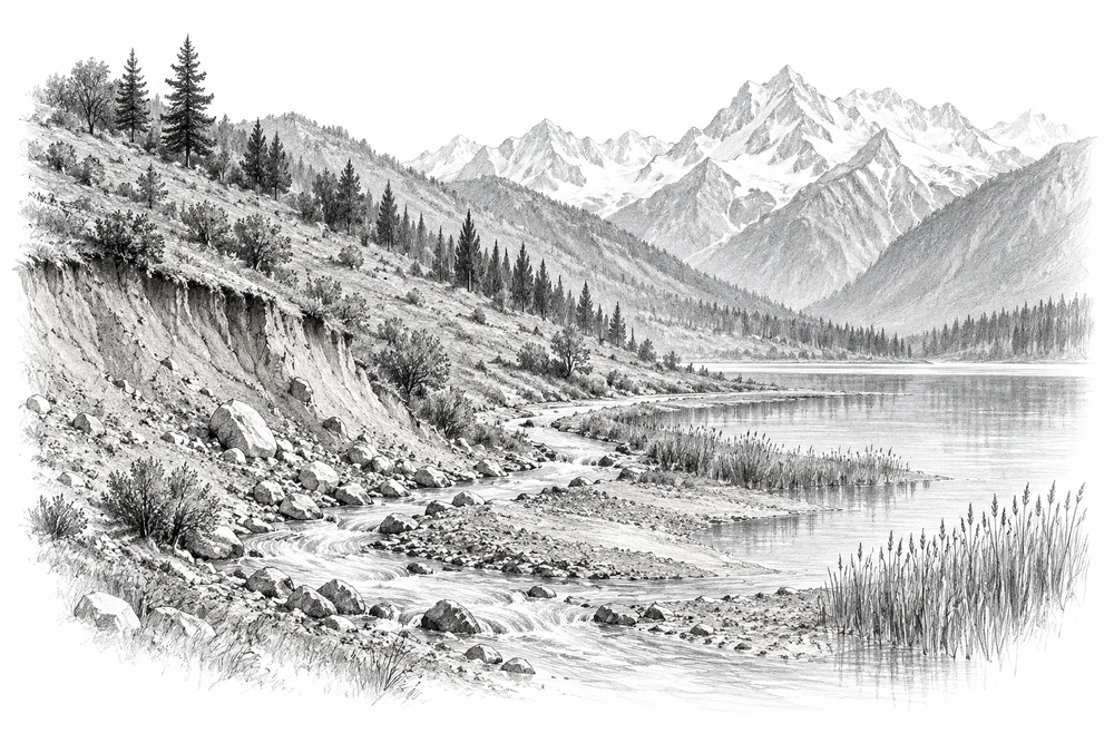
KVI-04 Local evidence
Connect lake sediment problems to upstream erosion sources and develop a measured catchment treatment pilot.
Explore the opportunityThis is a research and project proposal. The illustration is an editorial concept, not evidence of current site conditions or completed work.