Avoidance and Minimization Measures: Power Lines
Risk assessment and safer pole/line arrangements. Utility-led technical work only; first establish local bird mortality and critical spans.
KVI-36 · Wildlife & connectivity
Survey suspected dangerous power spans near bird concentrations; utility engineers would design any modifications.
UNDERSTANDING THE ISSUE
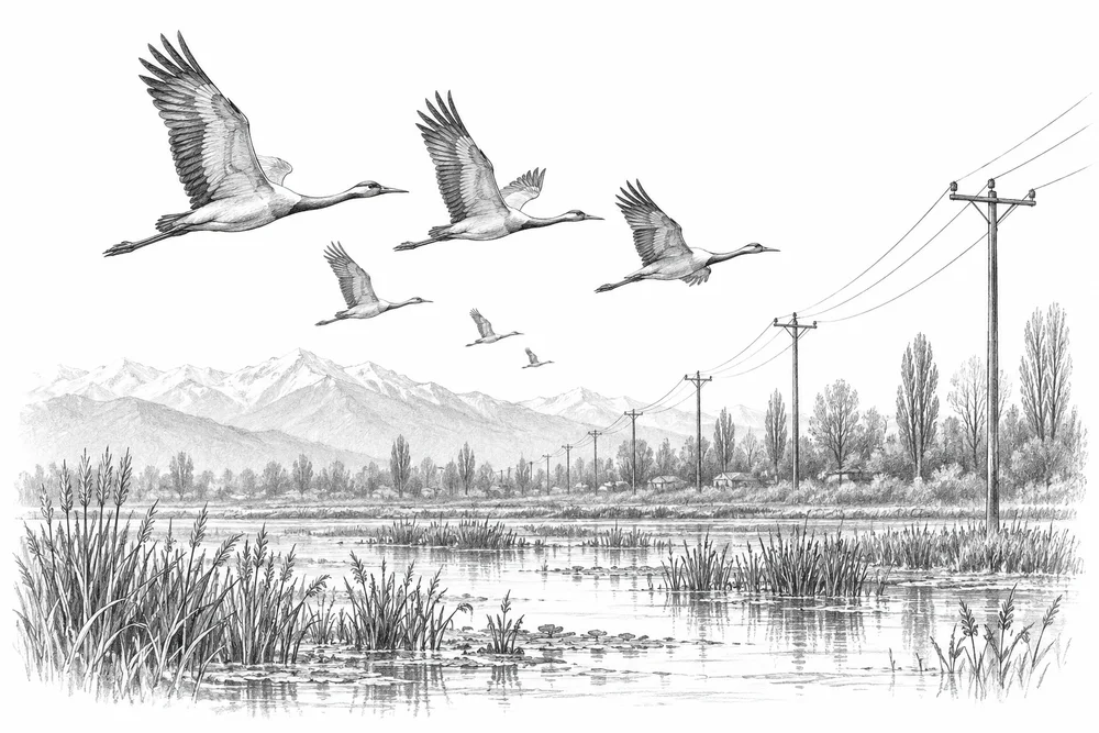
Birds can collide with lines or be electrocuted on unsafe structures, but the inventory has not established local mortality or critical spans. Any modification must be designed and undertaken by the utility and qualified engineers.
This opportunity begins with checking whether the suspected problem is present and significant at a named site. A field baseline, the relevant technical partners and local priorities would determine whether CCK should develop it further.
Habitat, movement and exposure differ between species and landscapes.
Local livelihoods and public safety are part of an effective conservation response.
Verified observations help direct effort while avoiding disturbance and protecting sensitive locations.
PROPOSED APPROACH
Survey suspected dangerous power spans near bird concentrations; utility engineers would design any modifications.
Review incident reports and survey suspected spans with bird specialists using a consistent, safe method.
Present evidence on a confirmed high-risk span to the utility for technical assessment.
Agree mortality-search effort and bird-use monitoring before any utility-led trial.
Review incident reports and survey suspected spans with bird specialists using a consistent, safe method. Keep methods, dates, source records and unresolved questions together.
Present evidence on a confirmed high-risk span to the utility for technical assessment. Identify responsibilities, permissions, costs and continuing care before proceeding.
Agree mortality-search effort and bird-use monitoring before any utility-led trial. State what would count as success, failure or a reason to change course.
To investigate
Risk or delivery gap to investigate; listed sources supply context and do not establish its local extent.
Hokera/Hokersar
Official indexed document excerpts checked. Reference checked 2026-10-30. Context for screening; this source does not establish the local extent of the proposed issue.
Hygam
Official indexed document excerpts checked. Reference checked 2026-10-30. Context for screening; this source does not establish the local extent of the proposed issue.
These references offer methods to assess locally. They do not establish what will work at a selected Kashmir site.
Risk assessment and safer pole/line arrangements. Utility-led technical work only; first establish local bird mortality and critical spans.
Connected networks of migration and wetland habitats with local partners. Kashmir is part of the Central Asian Flyway; do not imply it lies within the East Asian-Australasian programme footprint.
KVI-29 Local evidence
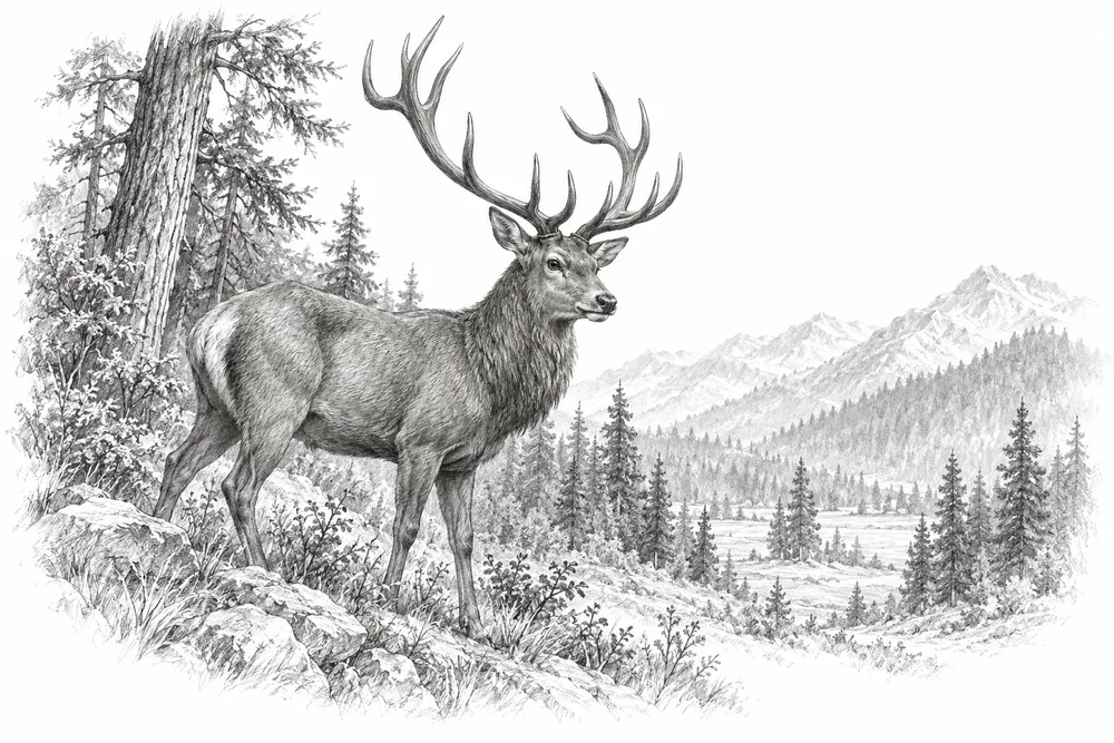
Support corridor and winter-habitat assessment with authorised partners, building on work already under way.
Explore the opportunity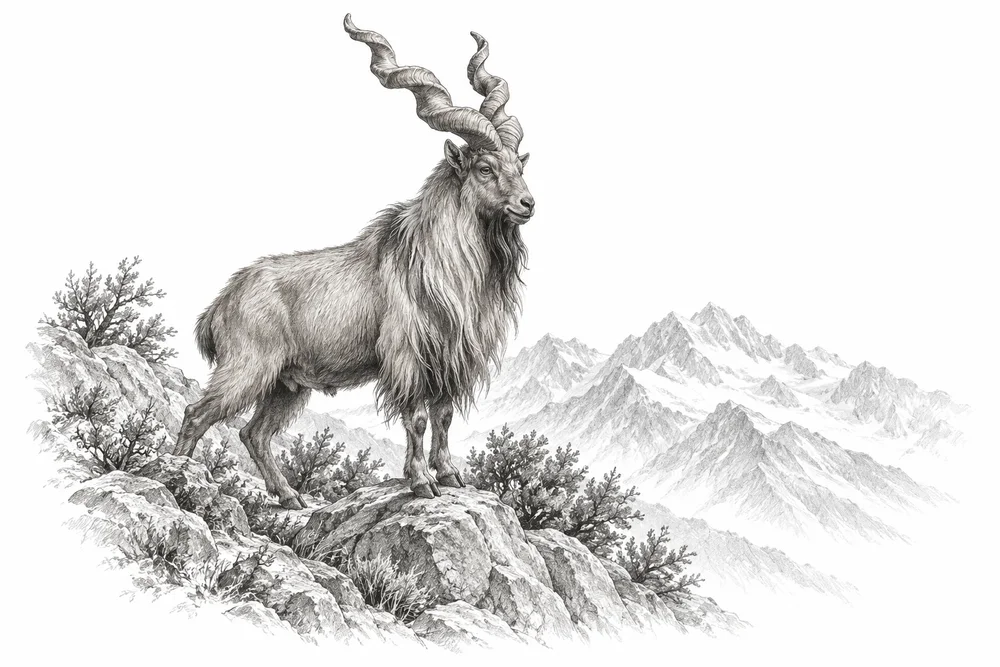
KVI-30 Local evidence
Develop separate species-and-site briefs for markhor and other verified priority taxa within the agreed geography.
Explore the opportunity
KVI-31 Local evidence
Map incidents and their causes, then test locally appropriate prevention with affected residents and wildlife specialists.
Explore the opportunityThis is a research and project proposal. The illustration is an editorial concept, not evidence of current site conditions or completed work.