Landcare
Community and farmer stewardship of soil, water and native vegetation. Institutions and species differ; retain local pastoral and farmer rights.
KVI-27 · Meadows & mountains
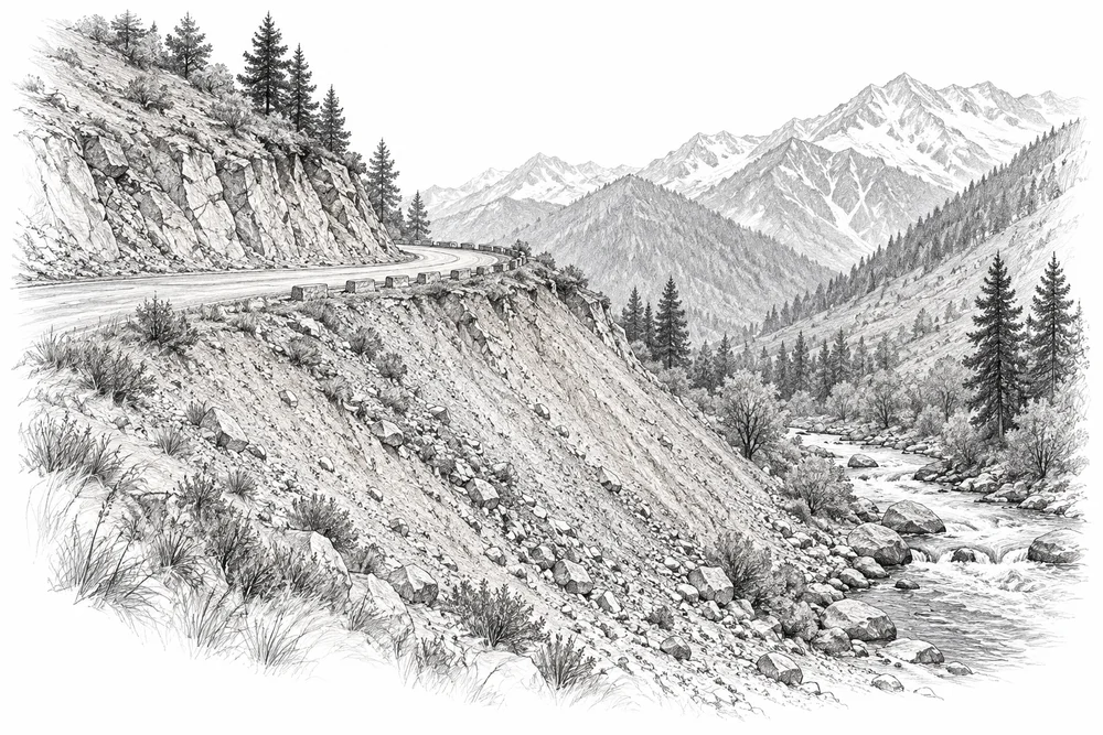
Map exposed soil and dumping sites, then separate habitat repair opportunities from work needing engineering design.
UNDERSTANDING THE ISSUE
Road spoil, quarrying and exposed slopes may affect habitat and sediment movement, but their local extent remains a screening question. Some sites require geotechnical or drainage works before ecological repair is safe or useful.
This opportunity begins with checking whether the suspected problem is present and significant at a named site. A field baseline, the relevant technical partners and local priorities would determine whether CCK should develop it further.
Mountain vegetation, soils and water bodies require care suited to their condition and season.
Pastoralists, residents and visitors need a place in decisions about landscape use.
Repeat observations help distinguish lasting recovery from seasonal appearance.
PROPOSED APPROACH
Map exposed soil and dumping sites, then separate habitat repair opportunities from work needing engineering design.
Map exposed areas, material movement and downstream connections with site owners and technical specialists.
Separate stable habitat-repair opportunities from sites requiring engineered stabilisation.
Track vegetation establishment and erosion indicators within the scope of the agreed design.
Map exposed areas, material movement and downstream connections with site owners and technical specialists. Keep methods, dates, source records and unresolved questions together.
Separate stable habitat-repair opportunities from sites requiring engineered stabilisation. Identify responsibilities, permissions, costs and continuing care before proceeding.
Track vegetation establishment and erosion indicators within the scope of the agreed design. State what would count as success, failure or a reason to change course.
To investigate
Risk or delivery gap to investigate; listed sources supply context and do not establish its local extent.
Upper Jhelum; 1980-2020 land-use modelling
Publisher indexed abstract checked. Reference checked 2026-10-30. Context for screening; this source does not establish the local extent of the proposed issue.
J&K; specific Valley discussion
Publisher indexed abstract/introduction checked. Reference checked 2026-10-30. Context for screening; this source does not establish the local extent of the proposed issue.
These references offer methods to assess locally. They do not establish what will work at a selected Kashmir site.
Community and farmer stewardship of soil, water and native vegetation. Institutions and species differ; retain local pastoral and farmer rights.
Reference ecosystems, recovery attributes and monitoring. A framework, not evidence that a particular intervention works at a Kashmir site.
KVI-23 Local evidence
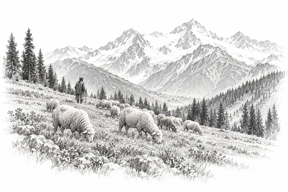
Co-design seasonal grazing and recovery trials with pastoralists using forage and vegetation measurements.
Explore the opportunity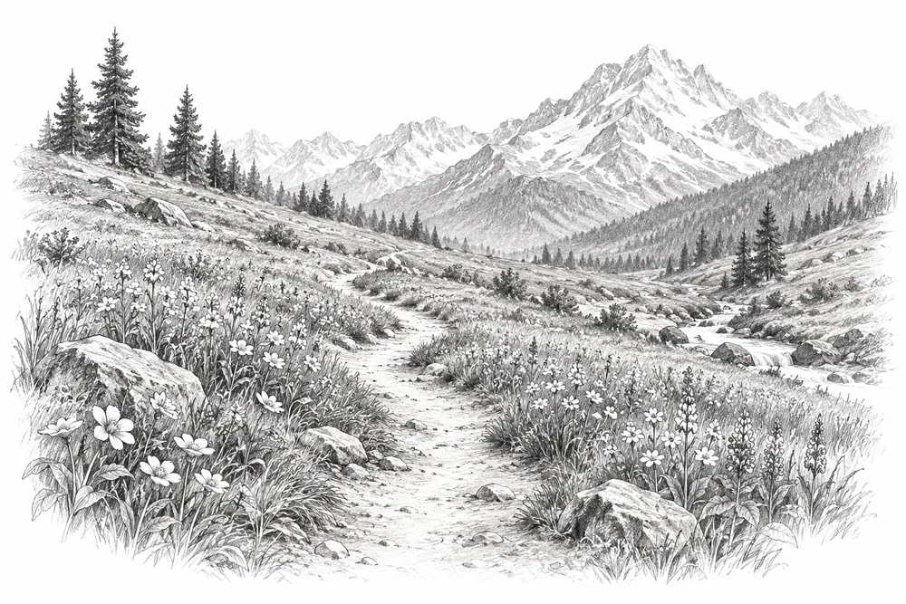
KVI-24 Local evidence
Compare affected and reference areas, then test routes, visitor guidance and small repairs at a named meadow.
Explore the opportunity
KVI-25 Local evidence
Create low-impact lake monitoring and source-prevention programmes suited to remote, sensitive sites.
Explore the opportunityThis is a research and project proposal. The illustration is an editorial concept, not evidence of current site conditions or completed work.