International Standards for the Practice of Ecological Restoration
Reference ecosystems, recovery attributes and monitoring. A framework, not evidence that a particular intervention works at a Kashmir site.
KVI-05 · Lakes & wetlands
Identify the plants and causes of excessive growth before considering a monitored management trial.
UNDERSTANDING THE ISSUE
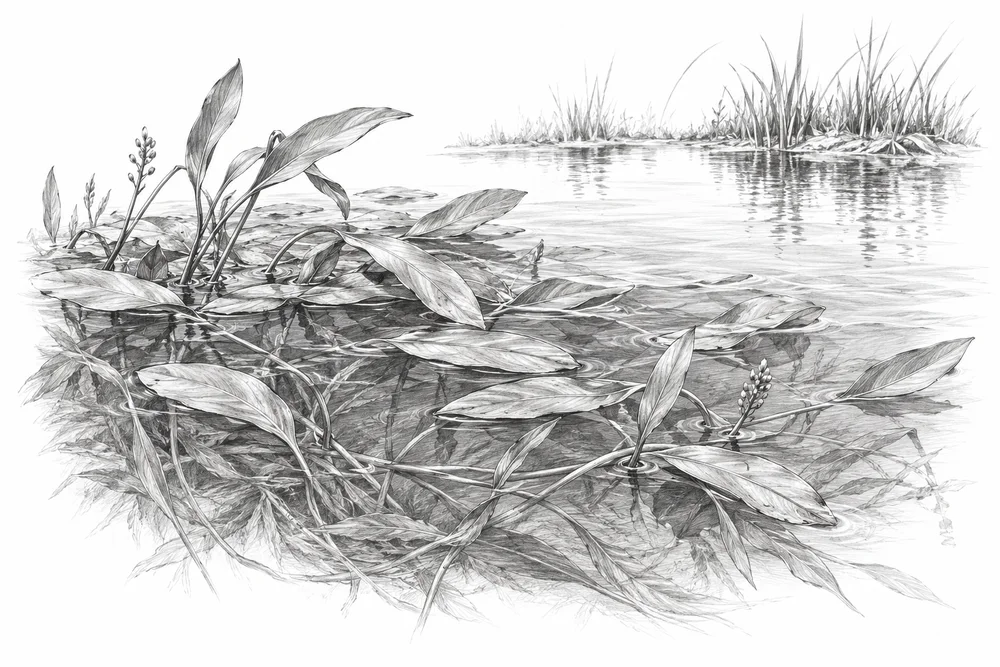
Dense aquatic vegetation may reflect nutrients, altered water levels or the spread of particular species. Water plants also provide habitat, so treating every vegetated patch as a weed problem could remove the very habitat a conservation project should retain.
The first phase would turn this broad issue into a bounded site investigation. Current condition, the cause of change and an accountable local partnership would guide whether an intervention is appropriate.
Water depth, vegetation and clean inflows help shape the habitats available to freshwater life.
Conditions at a lake edge often reflect activities well beyond the water itself.
A useful response needs people who can care for the site and follow its condition over time.
PROPOSED APPROACH
Identify the plants and causes of excessive growth before considering a monitored management trial.
Identify plant species and map their seasonal cover alongside depth, nutrients and habitat use.
Develop a limited management trial only where a defined ecological problem and its cause are established.
Compare plant composition, open-water habitat and regrowth with an untreated reference area.
Identify plant species and map their seasonal cover alongside depth, nutrients and habitat use. Keep methods, dates, source records and unresolved questions together.
Develop a limited management trial only where a defined ecological problem and its cause are established. Identify responsibilities, permissions, costs and continuing care before proceeding.
Compare plant composition, open-water habitat and regrowth with an untreated reference area. State what would count as success, failure or a reason to change course.
Local evidence
A locally relevant topic is documented by a cited source; current severity and site feasibility remain unassessed.
Wular open water; October 2018
Full text checked in initial sample. Reference checked 2026-10-30. Site, time period and methods limit how this evidence can be applied to a new project.
Hokera/Hokersar
Official indexed document excerpts checked. Reference checked 2026-10-30. Site, time period and methods limit how this evidence can be applied to a new project.
These references offer methods to assess locally. They do not establish what will work at a selected Kashmir site.
Reference ecosystems, recovery attributes and monitoring. A framework, not evidence that a particular intervention works at a Kashmir site.
Landscape-scale habitat restoration and connected wetland stewardship. Transfer habitat-network and monitoring principles; coastal engineering and foreign reed/water regimes do not transfer directly.
KVI-01 Local evidence
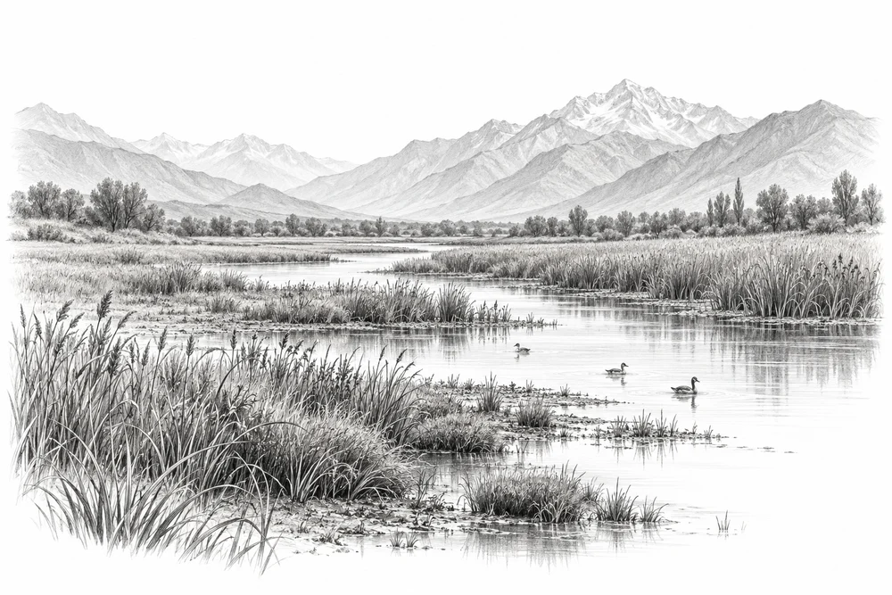
Understand where wetlands are being lost or altered, and where protection could begin.
Explore the opportunity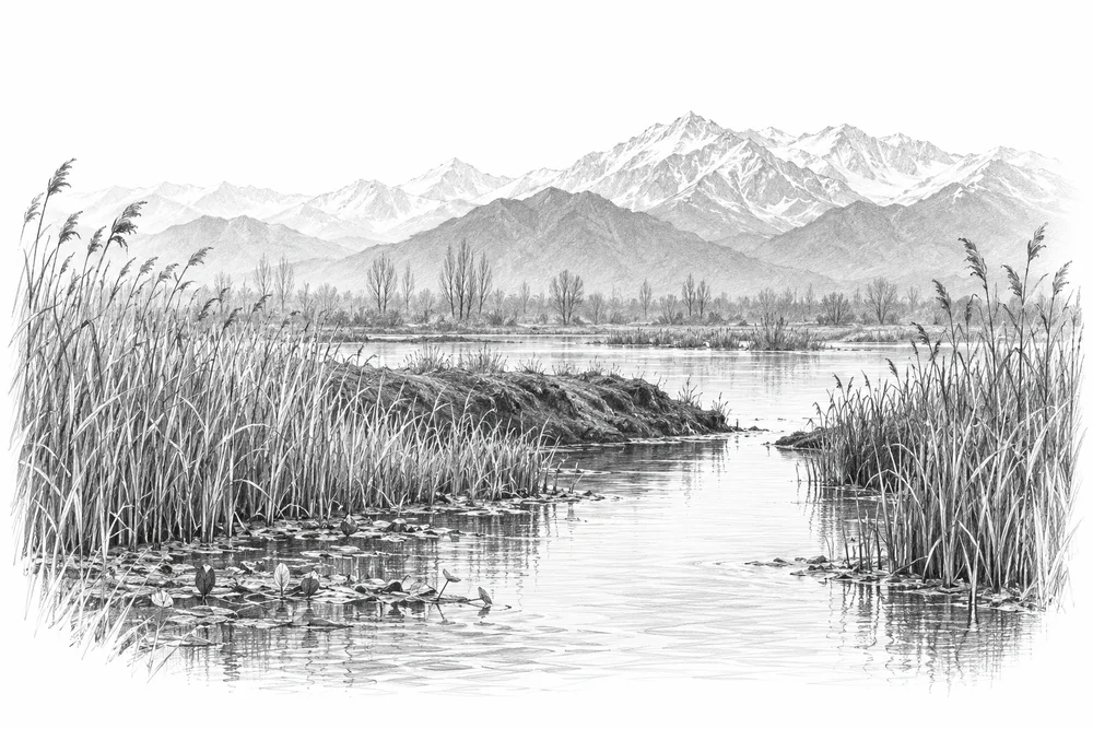
KVI-02 Local evidence
Identify blocked or altered connections and assess whether restoring seasonal water exchange would improve habitat.
Explore the opportunity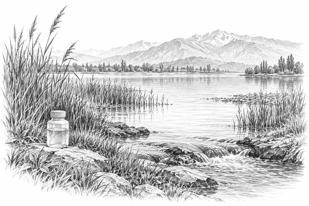
KVI-03 Local evidence
Trace nutrient inputs into selected lakes and test source reduction with the relevant communities and agencies.
Explore the opportunityThis is a research and project proposal. The illustration is an editorial concept, not evidence of current site conditions or completed work.