Guidance to Protect Habitat from Pesticide Contamination
Pesticide-safe habitat placement, drift reduction and integrated pest management. Use Kashmiri species and crop context; avoid creating attractive flowers in contaminated locations.
KVI-39 · Farms, orchards & soils
Locate likely runoff pathways and test practical input management or vegetated buffers with farmers.
UNDERSTANDING THE ISSUE
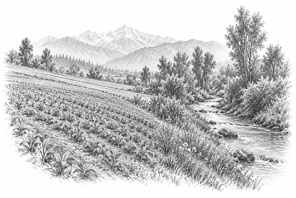
Fertiliser or manure can reach water through runoff and drainage. Local lake nutrient research gives context for the concern, but a farm project must establish the actual pathway and contribution before attributing a water-quality problem to nearby agriculture.
The first phase would turn this broad issue into a bounded site investigation. Current condition, the cause of change and an accountable local partnership would guide whether an intervention is appropriate.
Soil, water, crop diversity and insects are connected parts of farming landscapes.
An intervention needs to fit the grower’s practical constraints and livelihood priorities.
Ecological observations and farm performance should both inform whether a trial is useful.
PROPOSED APPROACH
Locate likely runoff pathways and test practical input management or vegetated buffers with farmers.
Map field drainage and nutrient practices with farmers and compare relevant inflows during runoff events.
Test an agreed input-management change or vegetated buffer suited to the farm and flow pathway.
Measure the targeted runoff indicator and record implications for farm management.
Map field drainage and nutrient practices with farmers and compare relevant inflows during runoff events. Keep methods, dates, source records and unresolved questions together.
Test an agreed input-management change or vegetated buffer suited to the farm and flow pathway. Identify responsibilities, permissions, costs and continuing care before proceeding.
Measure the targeted runoff indicator and record implications for farm management. State what would count as success, failure or a reason to change course.
Local evidence
A locally relevant topic is documented by a cited source; current severity and site feasibility remain unassessed.
Wular open water; October 2018
Full text checked in initial sample. Reference checked 2026-10-30. Site, time period and methods limit how this evidence can be applied to a new project.
Anchar Lake
Publisher indexed abstract checked. Reference checked 2026-10-30. Site, time period and methods limit how this evidence can be applied to a new project.
These references offer methods to assess locally. They do not establish what will work at a selected Kashmir site.
Pesticide-safe habitat placement, drift reduction and integrated pest management. Use Kashmiri species and crop context; avoid creating attractive flowers in contaminated locations.
Community and farmer stewardship of soil, water and native vegetation. Institutions and species differ; retain local pastoral and farmer rights.
KVI-37 Local evidence
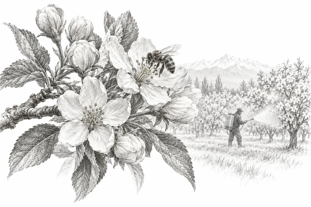
Develop farmer-led pesticide-risk reduction trials with agronomic expertise and comparable insect observations.
Explore the opportunity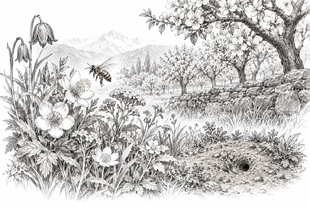
KVI-38 Local evidence
Create pesticide-protected field margins and nesting resources using locally suitable plants and seasonal surveys.
Explore the opportunity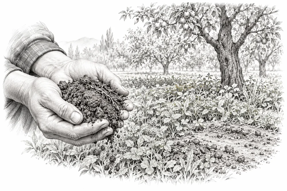
KVI-40 Local evidence
Assess soil cover, compaction and fertility at selected farms before testing cover or soil-organic-matter management.
Explore the opportunityThis is a research and project proposal. The illustration is an editorial concept, not evidence of current site conditions or completed work.