Flooding in and around rivers
Catchment restoration and natural flood management. Flood-channel works in Kashmir need local hydraulic and authority review; benefits are site-dependent.
KVI-02 · Lakes & wetlands
Identify blocked or altered connections and assess whether restoring seasonal water exchange would improve habitat.
UNDERSTANDING THE ISSUE
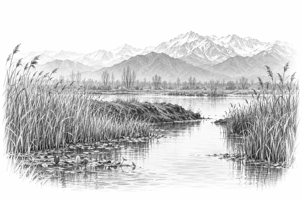
A wetland depends on when and how water enters, moves through and leaves it. Altered channels and blocked connections can change the balance of shallow water, reeds and exposed margins; reopening a connection without understanding water levels can also damage habitat or affect neighbouring land.
The first phase would turn this broad issue into a bounded site investigation. Current condition, the cause of change and an accountable local partnership would guide whether an intervention is appropriate.
Water depth, vegetation and clean inflows help shape the habitats available to freshwater life.
Conditions at a lake edge often reflect activities well beyond the water itself.
A useful response needs people who can care for the site and follow its condition over time.
PROPOSED APPROACH
Identify blocked or altered connections and assess whether restoring seasonal water exchange would improve habitat.
Map inlets, outlets and obstructions alongside seasonal water levels and the people who manage them.
Assess one connection with wetland and hydraulic specialists before considering a small, reversible repair.
Compare water levels, inundation duration and habitat condition through equivalent seasons.
Map inlets, outlets and obstructions alongside seasonal water levels and the people who manage them. Keep methods, dates, source records and unresolved questions together.
Assess one connection with wetland and hydraulic specialists before considering a small, reversible repair. Identify responsibilities, permissions, costs and continuing care before proceeding.
Compare water levels, inundation duration and habitat condition through equivalent seasons. State what would count as success, failure or a reason to change course.
Local evidence
A locally relevant topic is documented by a cited source; current severity and site feasibility remain unassessed.
Kashmir Valley; 1984-2021
Publisher abstract checked. Reference checked 2026-10-30. Site, time period and methods limit how this evidence can be applied to a new project.
Hokera/Hokersar
Official indexed document excerpts checked. Reference checked 2026-10-30. Site, time period and methods limit how this evidence can be applied to a new project.
Hygam
Official indexed document excerpts checked. Reference checked 2026-10-30. Site, time period and methods limit how this evidence can be applied to a new project.
These references offer methods to assess locally. They do not establish what will work at a selected Kashmir site.
Catchment restoration and natural flood management. Flood-channel works in Kashmir need local hydraulic and authority review; benefits are site-dependent.
Landscape-scale habitat restoration and connected wetland stewardship. Transfer habitat-network and monitoring principles; coastal engineering and foreign reed/water regimes do not transfer directly.
KVI-01 Local evidence
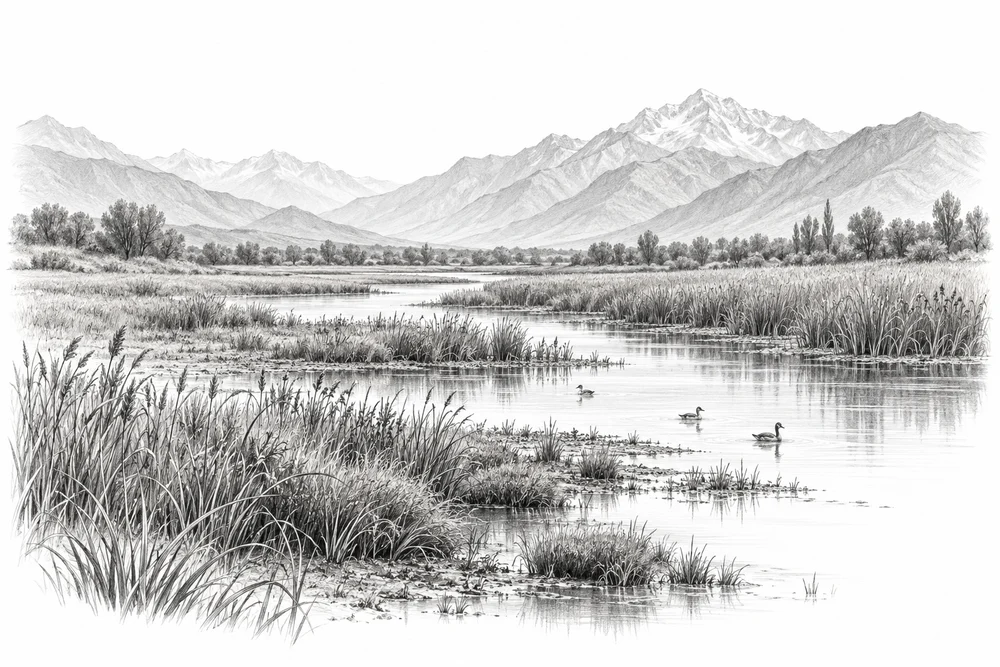
Understand where wetlands are being lost or altered, and where protection could begin.
Explore the opportunity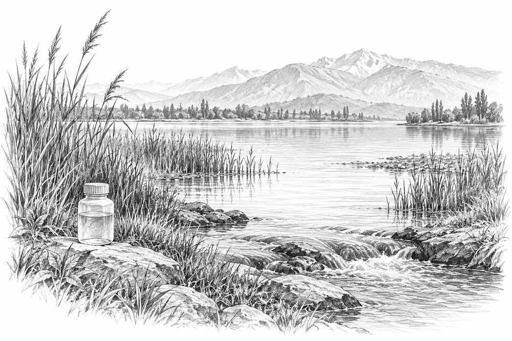
KVI-03 Local evidence
Trace nutrient inputs into selected lakes and test source reduction with the relevant communities and agencies.
Explore the opportunity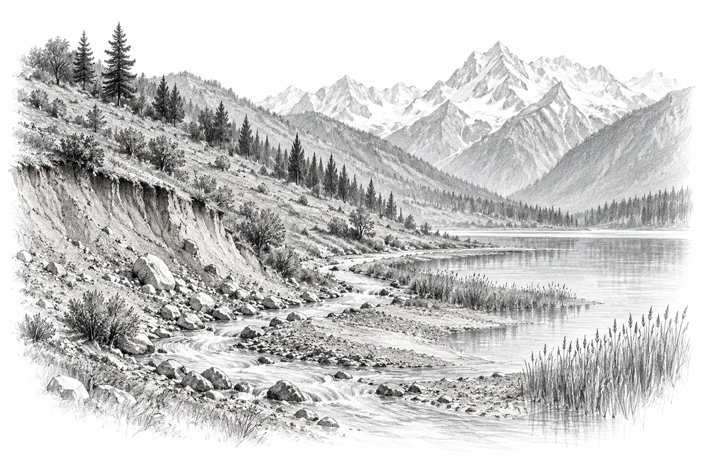
KVI-04 Local evidence
Connect lake sediment problems to upstream erosion sources and develop a measured catchment treatment pilot.
Explore the opportunityThis is a research and project proposal. The illustration is an editorial concept, not evidence of current site conditions or completed work.