Conservation opportunities

Explore 60 opportunities to protect and restore ecosystems across the Kashmir Valley and its catchments.

Existing initiatives

Research and project proposals. Sites, partnerships and fieldwork are still to be agreed.

60 opportunities across 9 themes

01Lakes & wetlands

8 opportunities

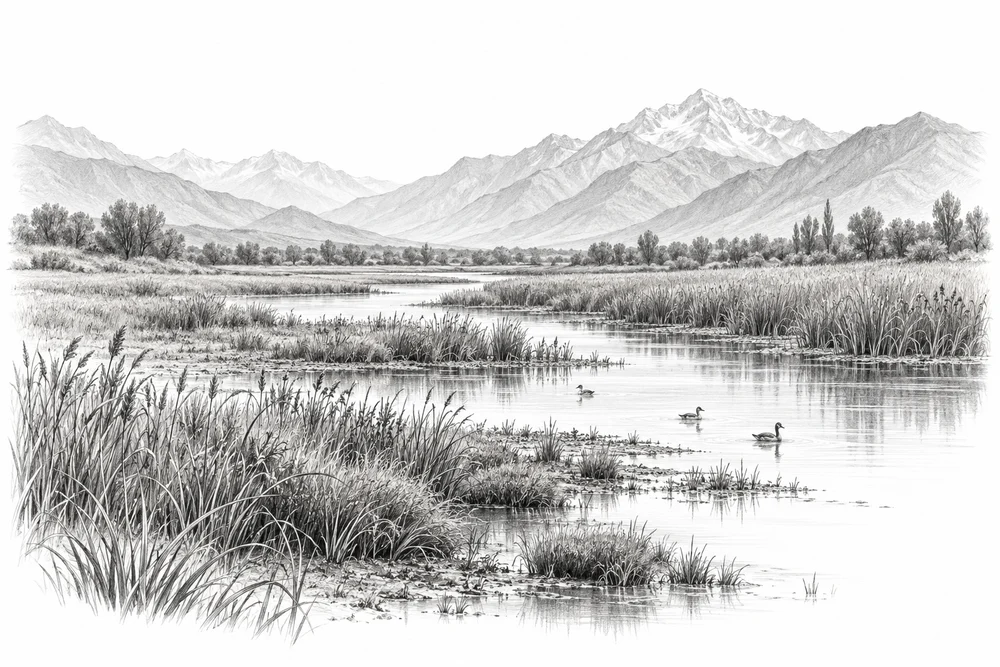
Pencil illustration of a wetland with reeds, waterbirds and Himalayan mountains.

Protecting wetland edges

Understand where wetlands are being lost or altered, and where protection could begin.

Explore
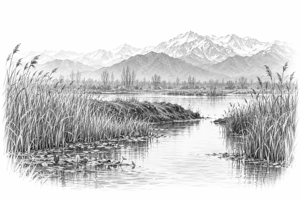
Pencil illustration of a narrow reed-lined wetland channel interrupted by an earthen bank, distant Himalayan ridges.

Reconnecting wetland flows

Identify blocked or altered connections and assess whether restoring seasonal water exchange would improve habitat.

Explore
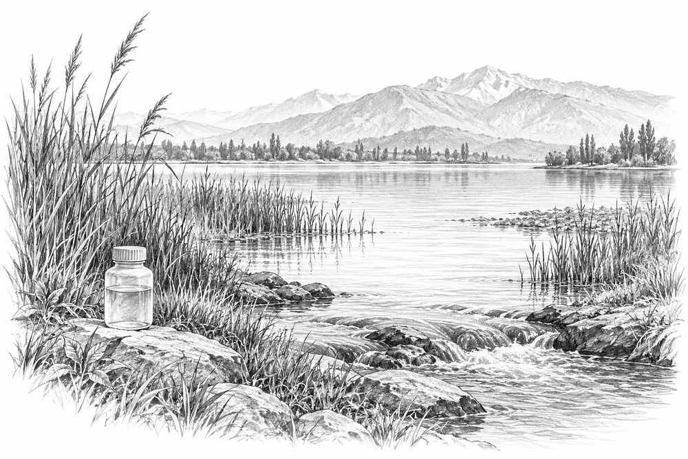
Pencil illustration of a lake edge with reeds and an inflowing drainage channel, a water sample bottle on the bank.

Reducing nutrient inputs to lakes

Trace nutrient inputs into selected lakes and test source reduction with the relevant communities and agencies.

Explore
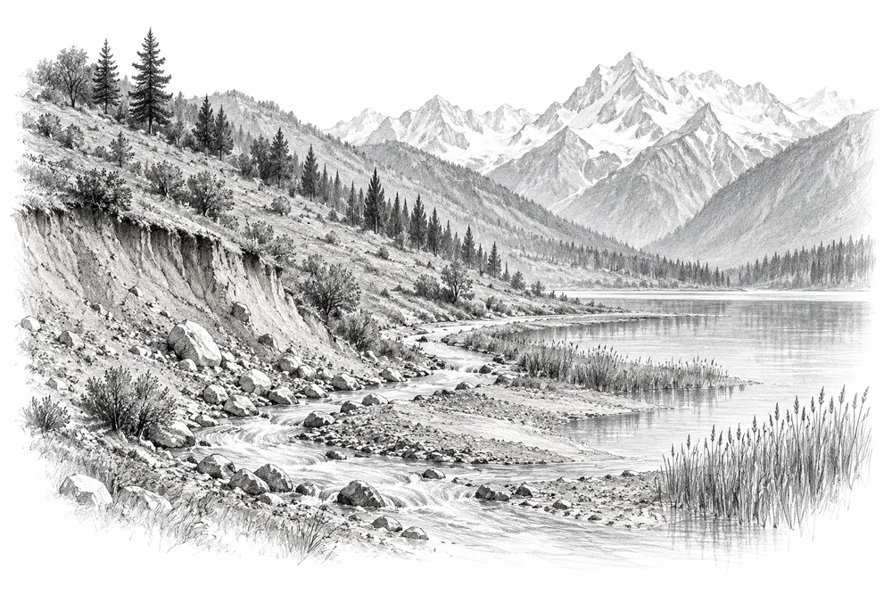
Pencil illustration of a Himalayan hillside with exposed soil, a winding stream carrying sediment toward a reed-fringed lake.

Keeping eroded soil out of wetlands

Connect lake sediment problems to upstream erosion sources and develop a measured catchment treatment pilot.

Explore
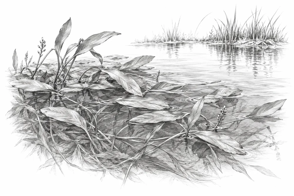
Pencil illustration of a botanical pencil study of pondweed leaves and submerged stems beside a small open-water patch.

Understanding aquatic plant growth

Identify the plants and causes of excessive growth before considering a monitored management trial.

Explore
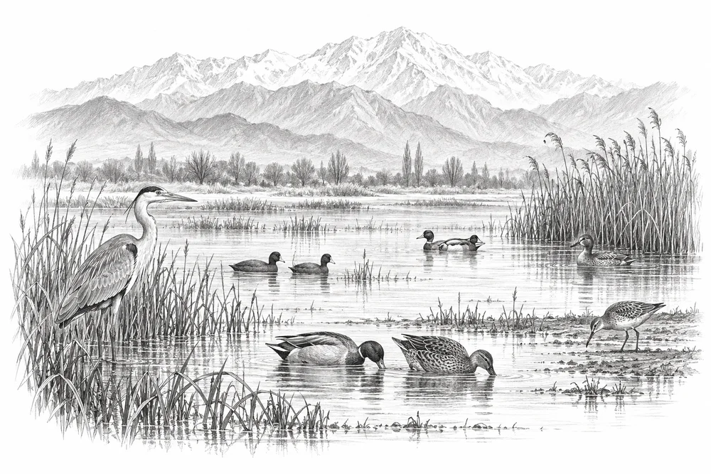
Pencil illustration of several waterbirds using shallow water, reed margins and a small mudflat beneath distant mountains.

Making room for waterbirds

Assess open water, shallow margins and reed habitat together, with seasonal disturbance observations.

Explore
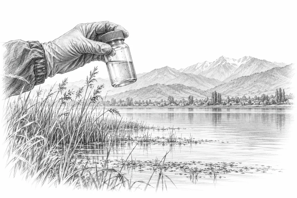
Pencil illustration of a gloved hand holding a sample bottle above a lake margin, reeds and distant hills.

Tracing chemical pollution in lakes

Use qualified laboratory partners to locate and track contaminant inputs at sites such as Anchar.

Explore
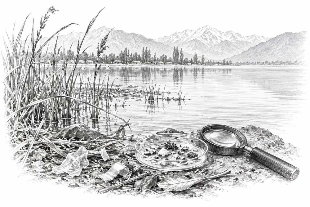
Pencil illustration of a lake shore with reeds and a few discarded plastic fragments beside a hand lens and sample dish.

Preventing plastic leakage into freshwater

Investigate sources of plastic leakage into lakes and target prevention, alongside properly designed sampling.

Explore

02Rivers & springs

7 opportunities

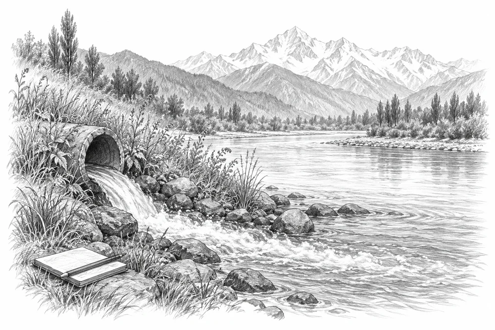
Pencil illustration of a riverside drain entering a broad Himalayan river, riverbank grasses and a field notebook.

Following pollution from drain to river

Build a drain-to-river inventory for a defined reach and follow the dominant pollution sources through to treatment options.

Explore
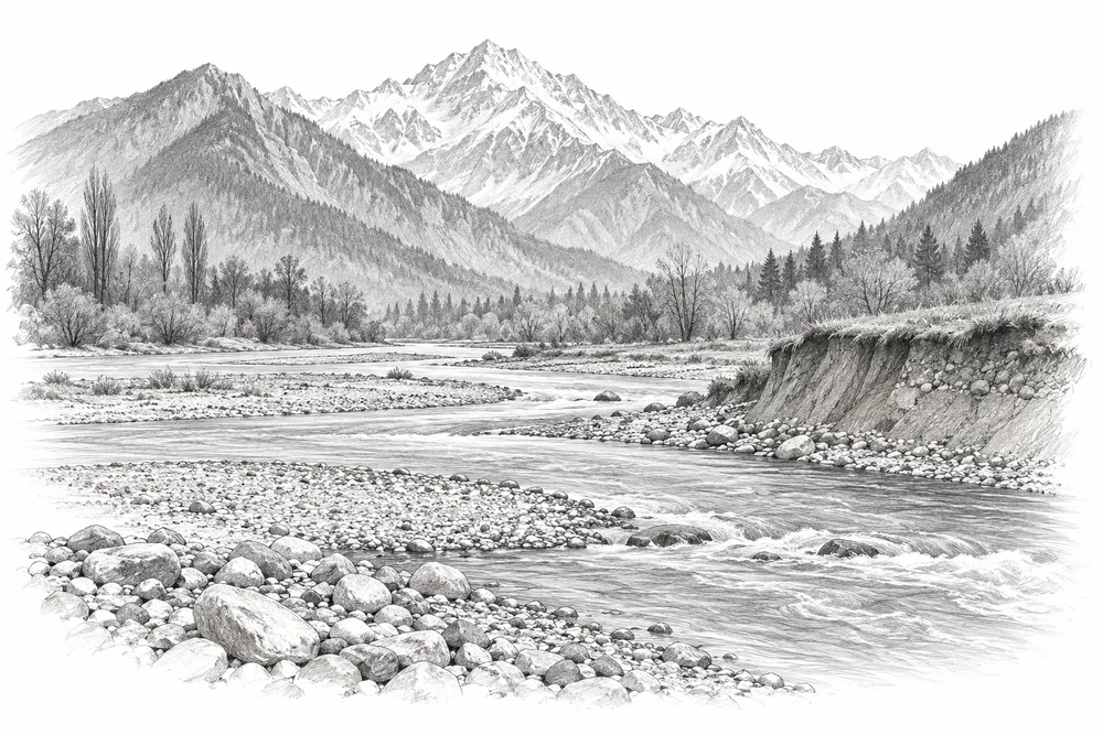
Pencil illustration of a river reach with exposed gravel bars, a small excavated riverbed section and mountain slopes.

Understanding riverbed extraction

Document changes to selected extraction reaches and fish habitat to support evidence-based restoration discussions.

Explore
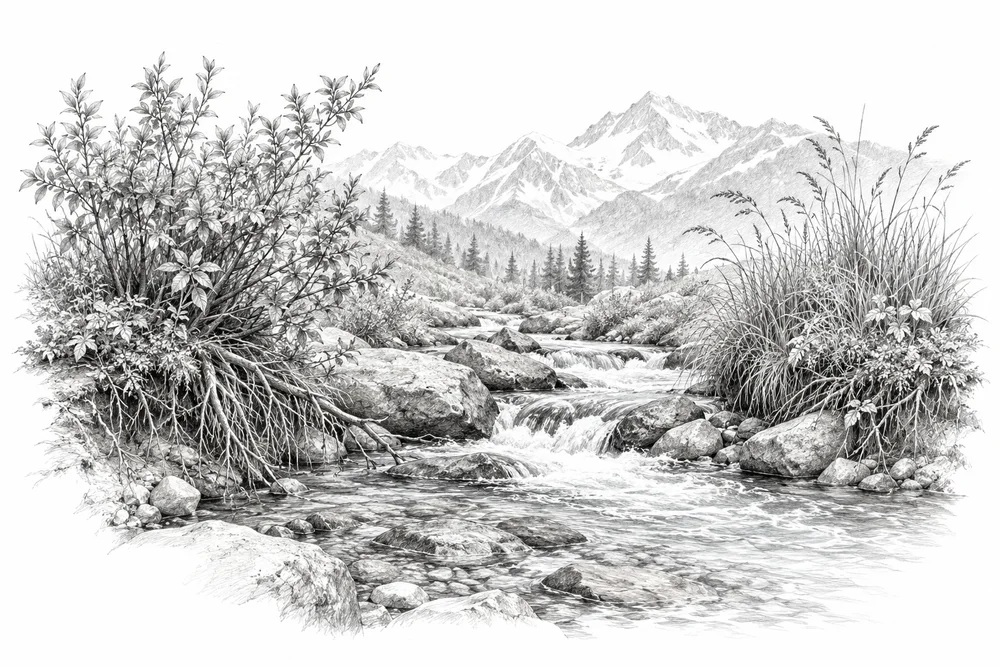
Pencil illustration of native shrubs and grasses with exposed roots along a clear mountain stream.

Restoring living stream banks

Develop native riparian habitat pilots from local reference vegetation, while retaining channel and flood safety.

Explore
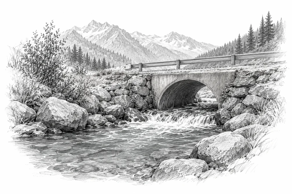
Pencil illustration of a small mountain stream passing through a perched road culvert, a fish silhouette beneath the water.

Assessing barriers to native fish

Screen diversions, culverts and other barriers for ecological effects before proposing reconnection or flow work.

Explore
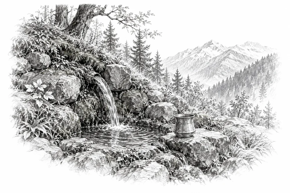
Pencil illustration of a small stone-edged spring issuing from a wooded Himalayan hillside, a simple measuring vessel.

Understanding spring flow through the year

Measure discharge through seasons and investigate recharge areas before selecting a spring-revival project.

Explore
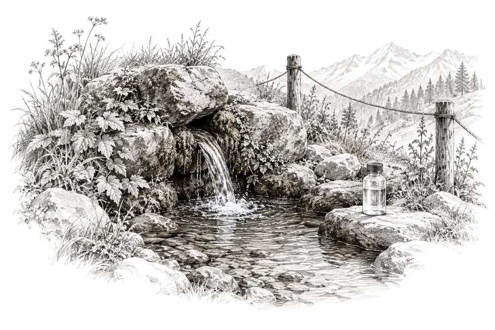
Pencil illustration of a clear spring emerging beside stones and vegetation, a sample bottle and a simple protective boundary.

Protecting spring water at its source

Protect specific spring heads and contributing areas using water-quality evidence and local water-user participation.

Explore
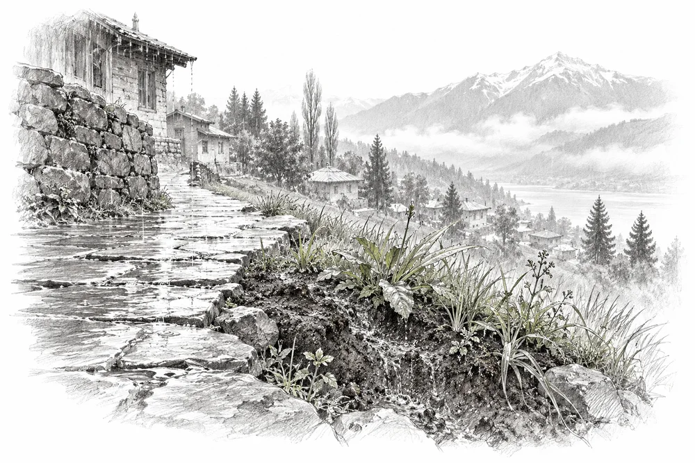
Pencil illustration of a partly paved village edge on a hillside, rain soaking into a small vegetated soil patch.

Finding where recharge needs protection

Establish where abstraction or surface sealing threatens recharge; keep interventions tied to hydrogeology.

Explore

03Forests & native plants

7 opportunities

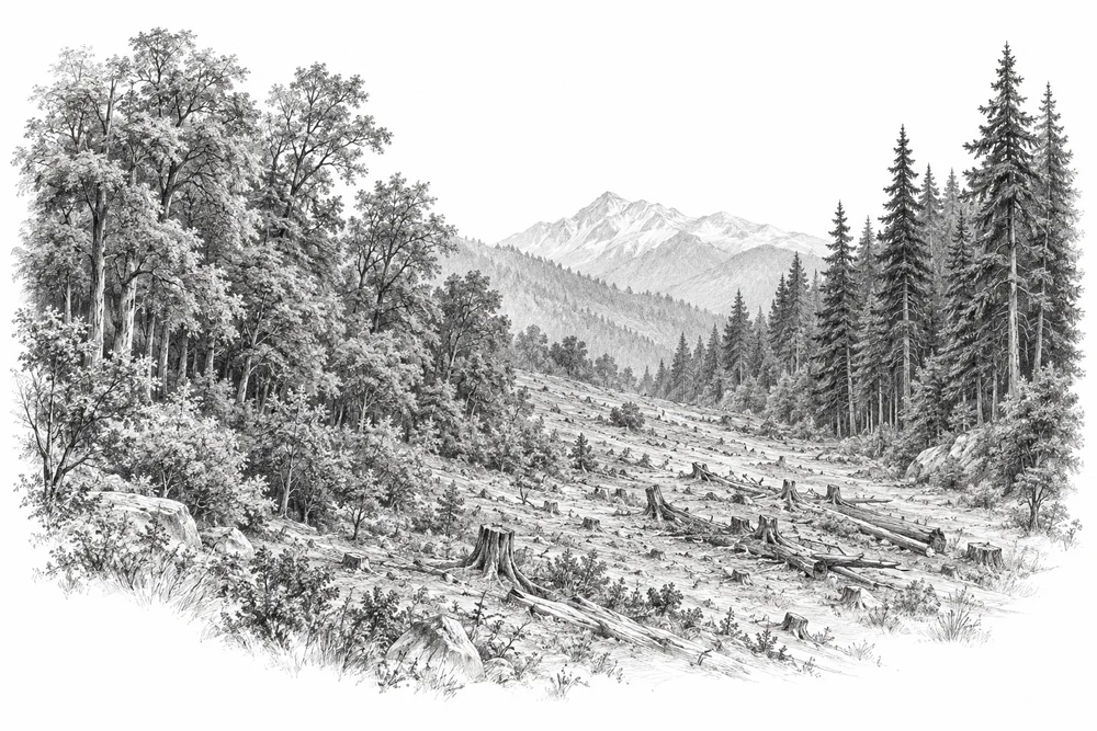
Pencil illustration of two patches of Himalayan broadleaf and conifer forest separated by an open disturbed strip.

Repairing fragmented forest habitat

Locate damaged forest edges and broken habitat connections for targeted protection and restoration partnerships.

Explore
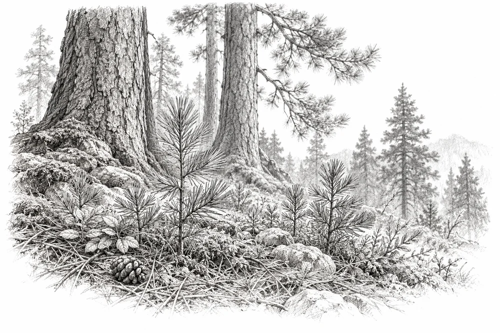
Pencil illustration of young native seedlings growing beneath mature pine trees with soft forest-floor detail.

Giving native forest a chance to recover

Test whether reducing the actual local stress allows native seedlings and vegetation to recover.

Explore
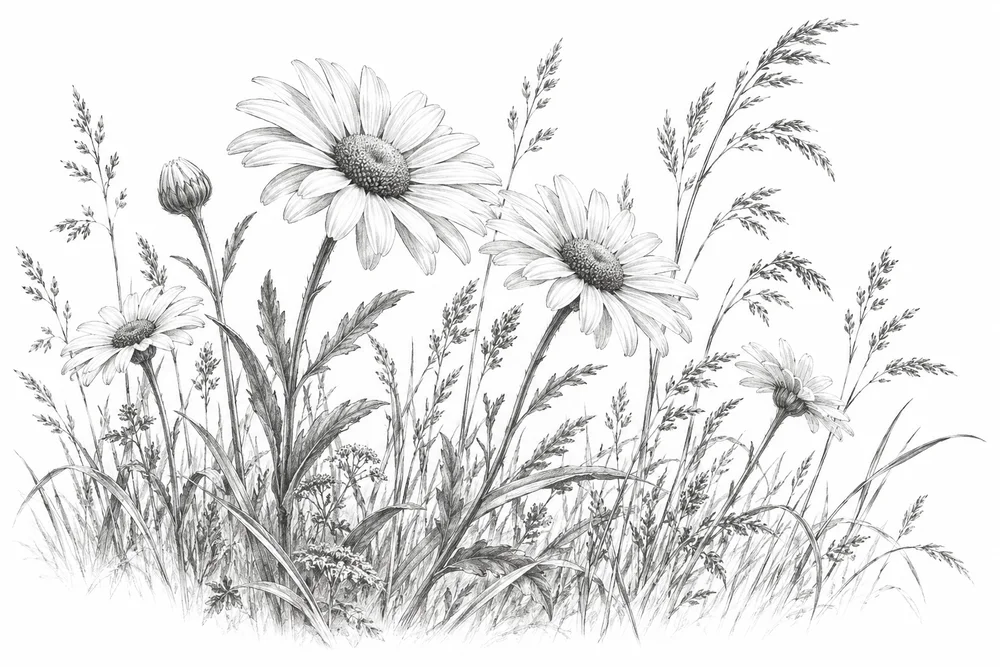
Pencil illustration of a botanical study of ox-eye daisy flowering stems beside varied meadow grasses.

Recovering habitat affected by invasive plants

Map confirmed damaging invaders, such as ox-eye daisy, and test recovery after carefully selected control methods.

Explore
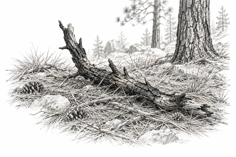
Pencil illustration of a dry pine forest floor with needles and a small old charred branch, no active flames.

Building locally grounded fire prevention

Build prevention and reporting work around local fire history and forest-department planning, followed by recovery monitoring.

Explore
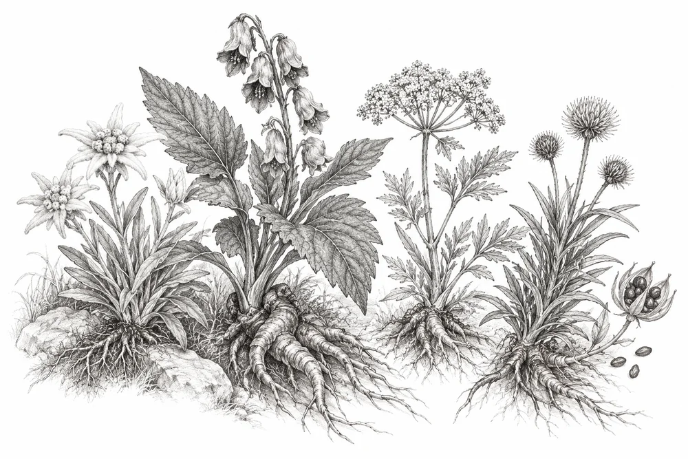
Pencil illustration of a careful botanical pencil study of Himalayan medicinal herbs with leaves, roots and seed heads.

Conserving wild medicinal plants

Identify vulnerable species and collection practices, then explore collector-led resource assessment and cultivation options.

Explore
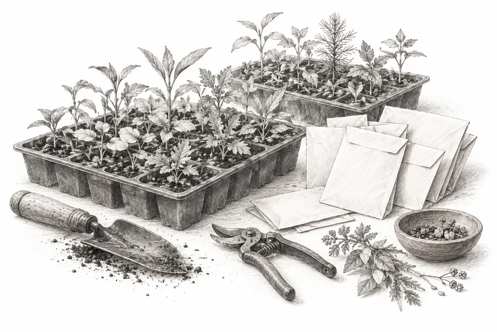
Pencil illustration of trays of small native seedlings beside labelled-looking but blank seed envelopes, botanical tools.

Building a reliable native plant supply

Assess local restoration demand and provenance gaps before developing a native propagation partnership.

Explore
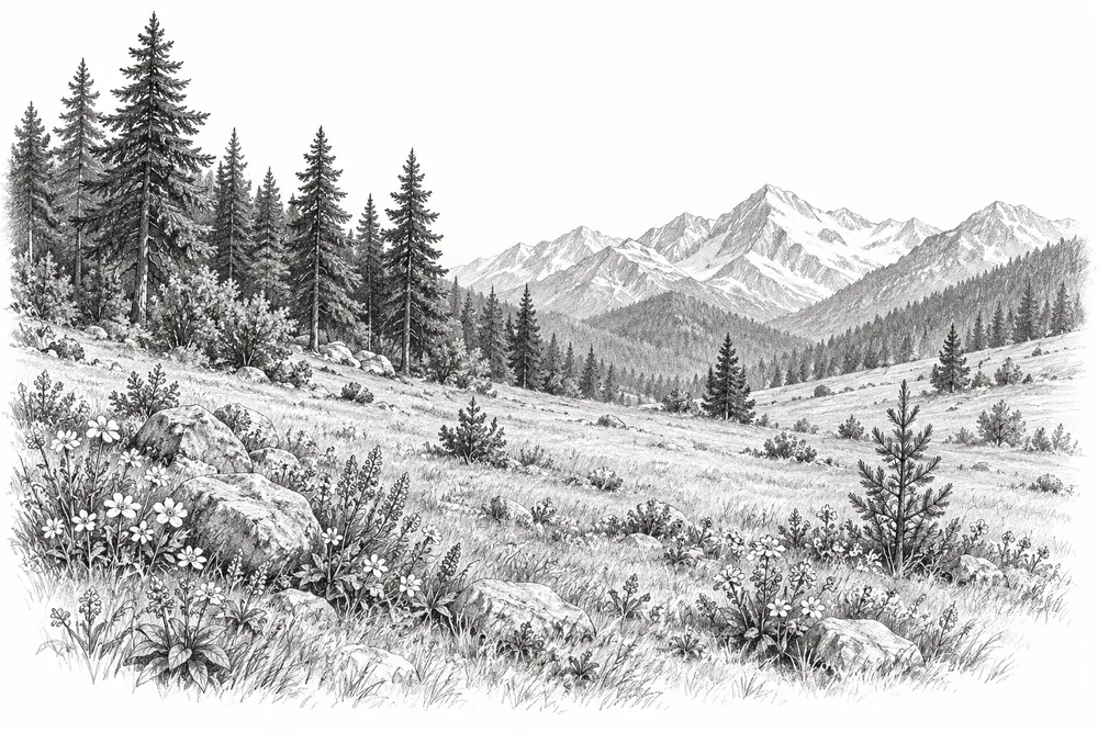
Pencil illustration of a naturally open mountain meadow beside a forest edge, low flowers and a few scattered saplings.

Choosing restoration that fits the habitat

Screen planting proposals against the site's reference ecosystem, including the value of naturally open habitats.

Explore

04Meadows & mountains

6 opportunities

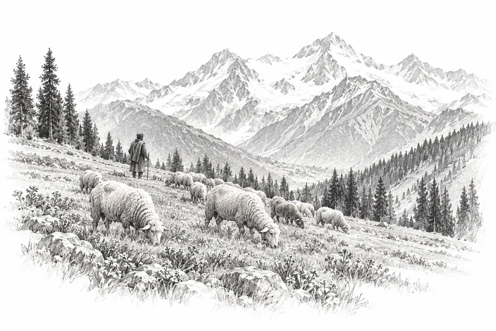
Pencil illustration of a Himalayan grazing meadow with a small flock of sheep and a shepherd seen distantly.

Caring for meadows with pastoralists

Co-design seasonal grazing and recovery trials with pastoralists using forage and vegetation measurements.

Explore
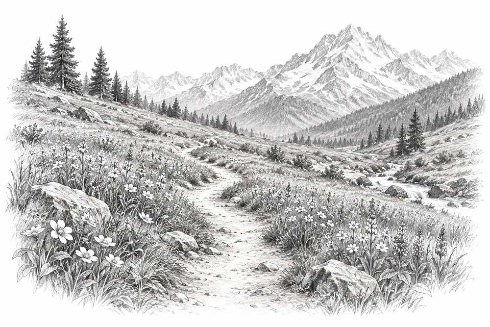
Pencil illustration of a winding footpath with worn edges crossing a flower-rich Himalayan meadow.

Keeping meadow paths from widening

Compare affected and reference areas, then test routes, visitor guidance and small repairs at a named meadow.

Explore
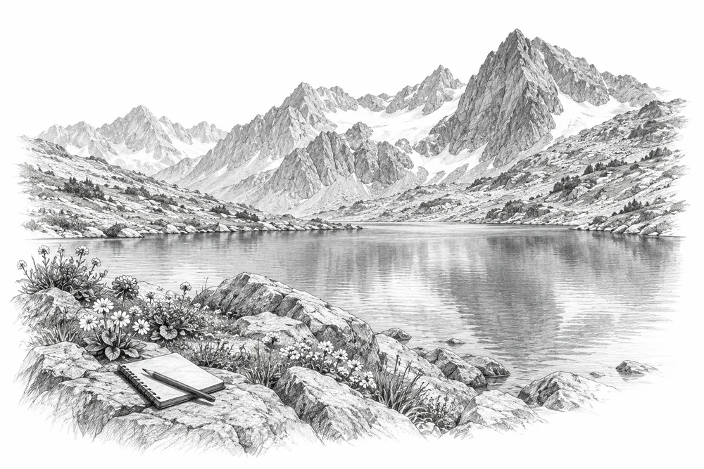
Pencil illustration of a small remote alpine lake beneath rocky peaks, sparse shore vegetation and a sampling notebook.

Keeping alpine lakes clean

Create low-impact lake monitoring and source-prevention programmes suited to remote, sensitive sites.

Explore
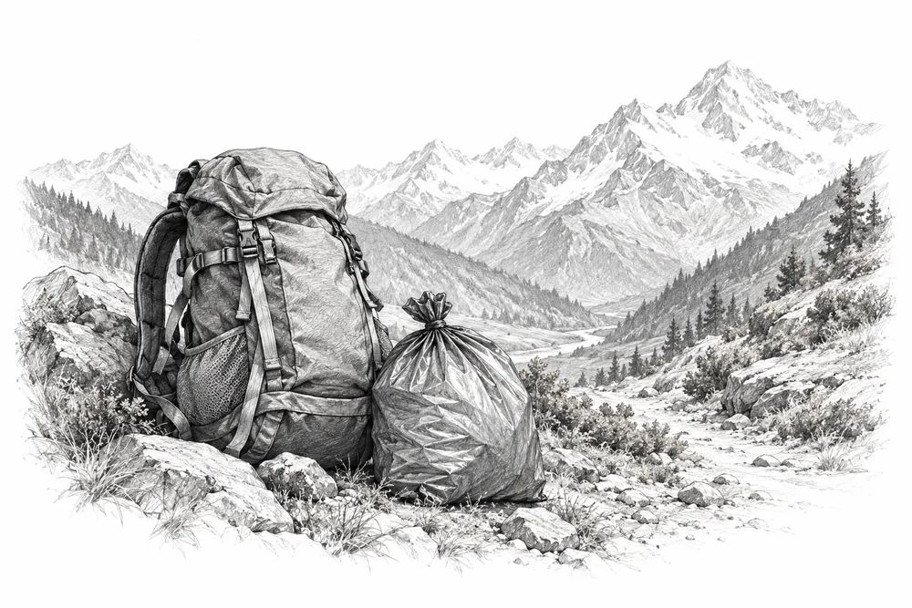
Pencil illustration of a trekking backpack with a securely closed waste sack beside a Himalayan trail, no logos.

Bringing trekking waste back down

Work with guides, camps and receiving facilities on waste prevention, safe backhaul and sanitation needs.

Explore
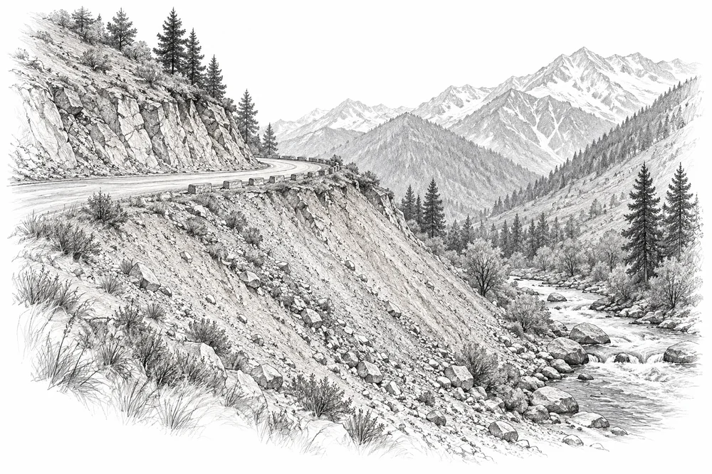
Pencil illustration of a mountain road cutting above an exposed spoil slope, sparse recovering grasses and a stream below.

Repairing disturbed mountain slopes

Map exposed soil and dumping sites, then separate habitat repair opportunities from work needing engineering design.

Explore
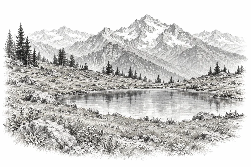
Pencil illustration of a small alpine meadow and shallow tarn with a discreet observation frame and mountain ridges.

Watching alpine habitats change

Establish repeat observation plots and photo points to detect changes in vegetation and wetland condition.

Explore

05Wildlife & connectivity

8 opportunities

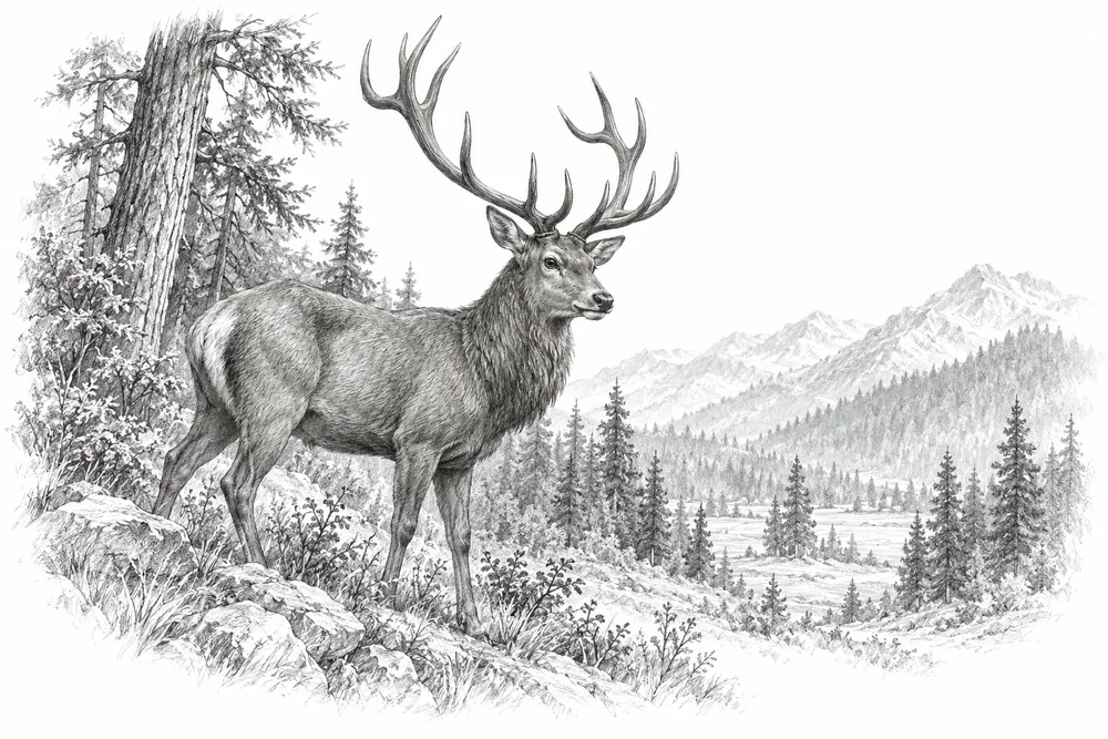
Pencil illustration of a mature hangul stag at the edge of Himalayan woodland with a distant forest opening.

Connecting hangul habitat

Support corridor and winter-habitat assessment with authorised partners, building on work already under way.

Explore
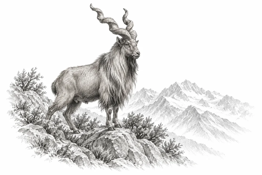
Pencil illustration of a markhor with spiral horns standing on a rocky Himalayan slope with sparse shrubs.

Shaping species-specific mountain projects

Develop separate species-and-site briefs for markhor and other verified priority taxa within the agreed geography.

Explore
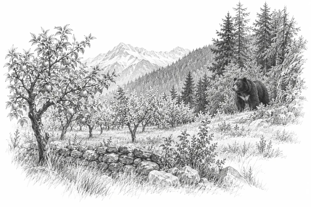
Pencil illustration of a Himalayan black bear at a distant forest edge beyond a small orchard, no confrontation.

Reducing conflict around wildlife habitat

Map incidents and their causes, then test locally appropriate prevention with affected residents and wildlife specialists.

Explore
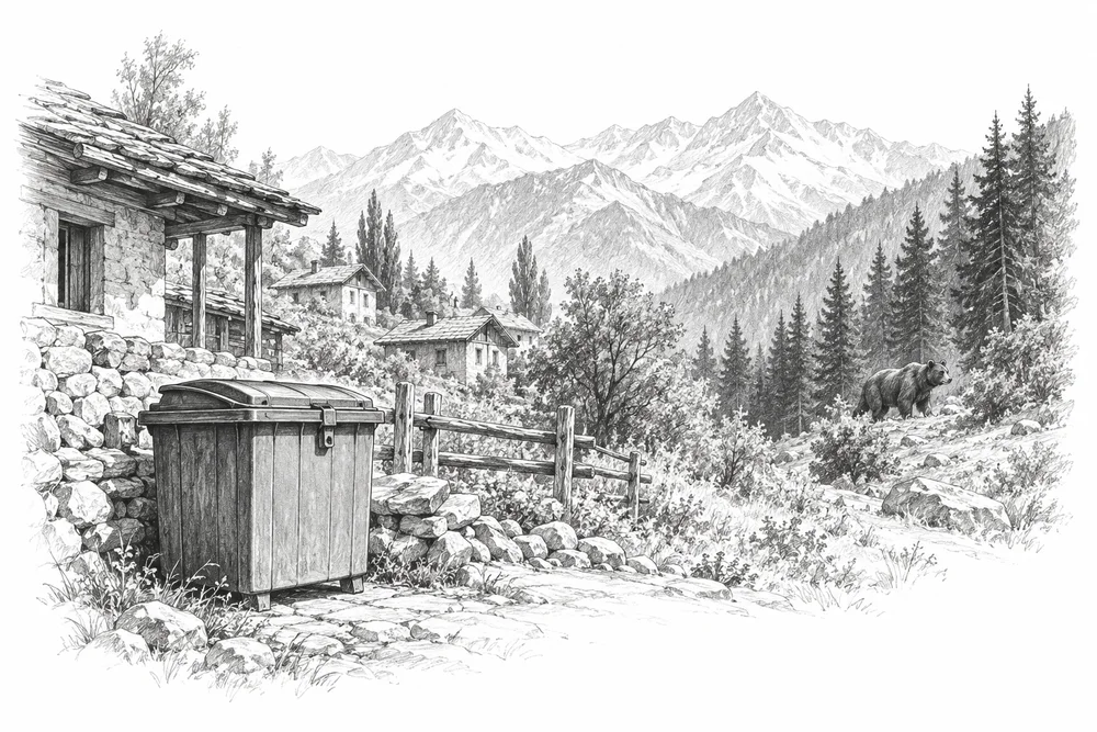
Pencil illustration of a securely closed refuse container beside a mountain settlement with a bear distantly near the forest.

Keeping food waste away from bears

Prioritise secure food-waste handling around bear landscapes such as Sonamarg and monitor behaviour changes.

Explore
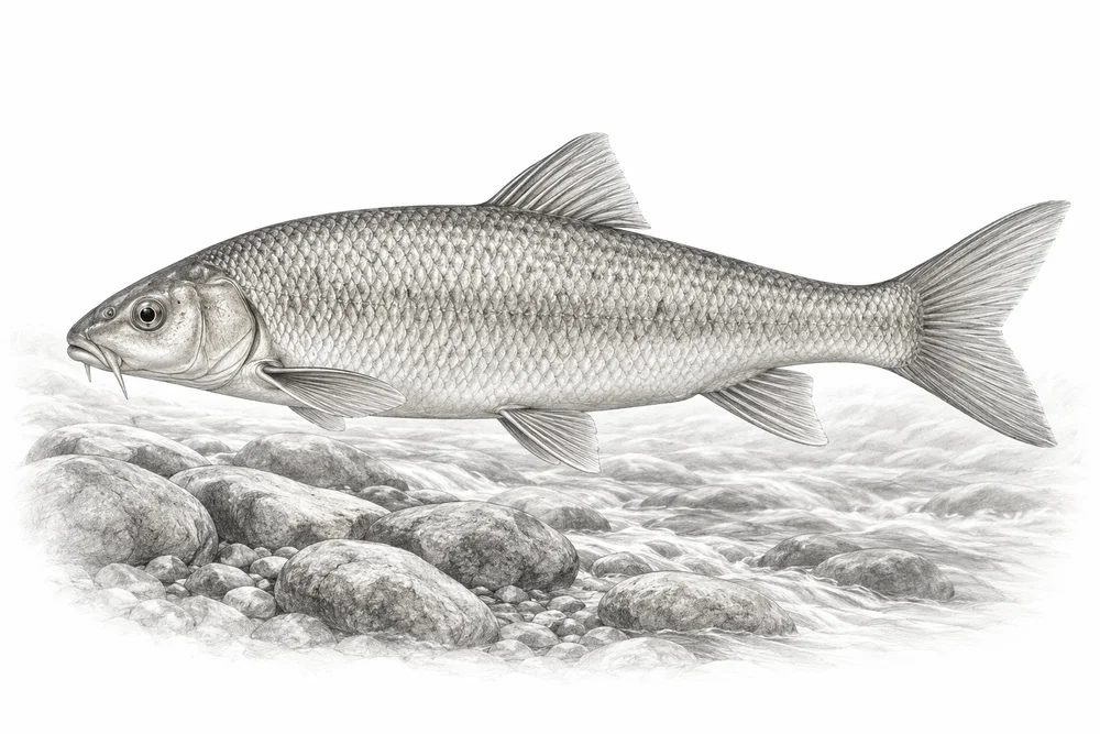
Illustrative pencil study of a native freshwater fish above river stones.

Protecting habitat for native fish

Assess native fish habitat, fishing pressure, pollution and introduced-species interactions before choosing a recovery intervention.

Explore
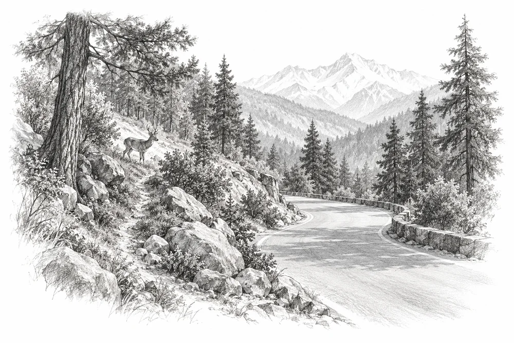
Pencil illustration of a quiet mountain road curving through woodland with a small wildlife crossing trail, no injured animals.

Finding wildlife roadkill hotspots

Identify recurring roadkill locations and work with road and wildlife authorities on tested mitigation.

Explore
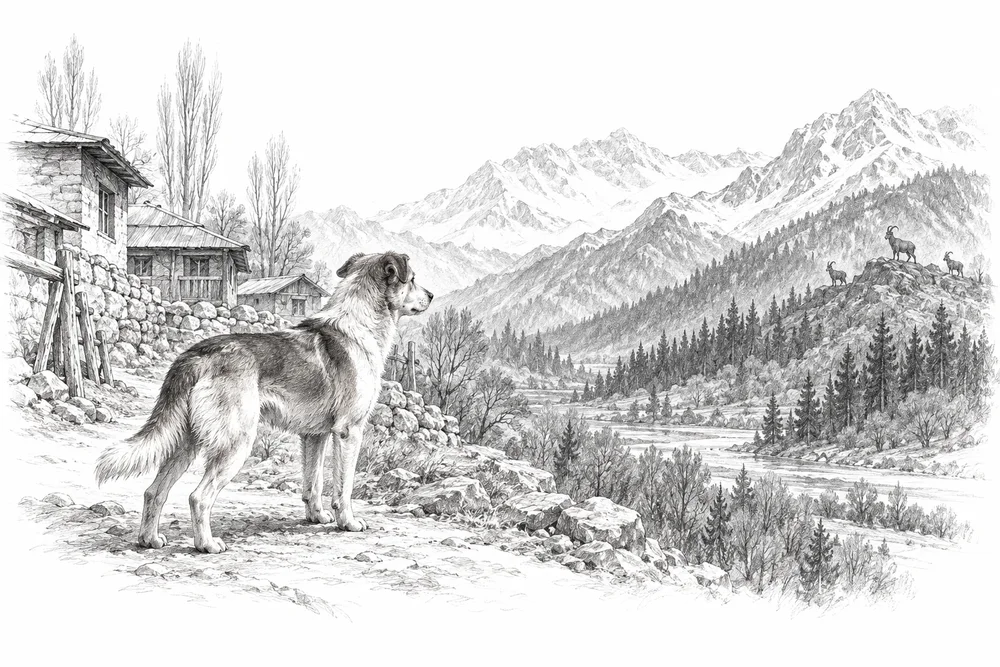
Pencil illustration of a free-ranging dog at a village edge separated from distant mountain wildlife habitat.

Understanding free-ranging animal pressures

Check predation, disturbance and disease evidence around sensitive sites before designing humane veterinary partnerships.

Explore
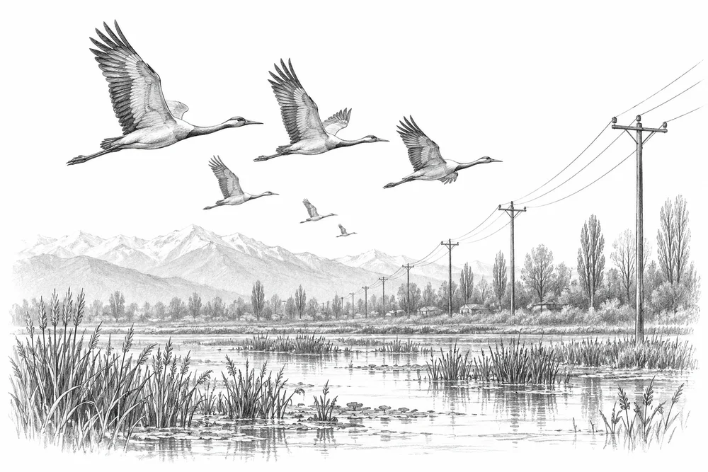
Pencil illustration of waterbirds flying near simple power lines beside a wetland, restrained natural-history scene.

Making bird-risk power spans visible

Survey suspected dangerous power spans near bird concentrations; utility engineers would design any modifications.

Explore

06Farms, orchards & soils

6 opportunities

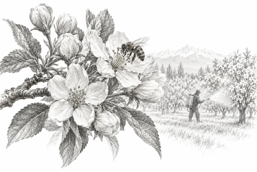
Pencil illustration of an apple branch in flower with a bee and a restrained distant orchard sprayer silhouette.

Reducing pesticide risks in orchards

Develop farmer-led pesticide-risk reduction trials with agronomic expertise and comparable insect observations.

Explore
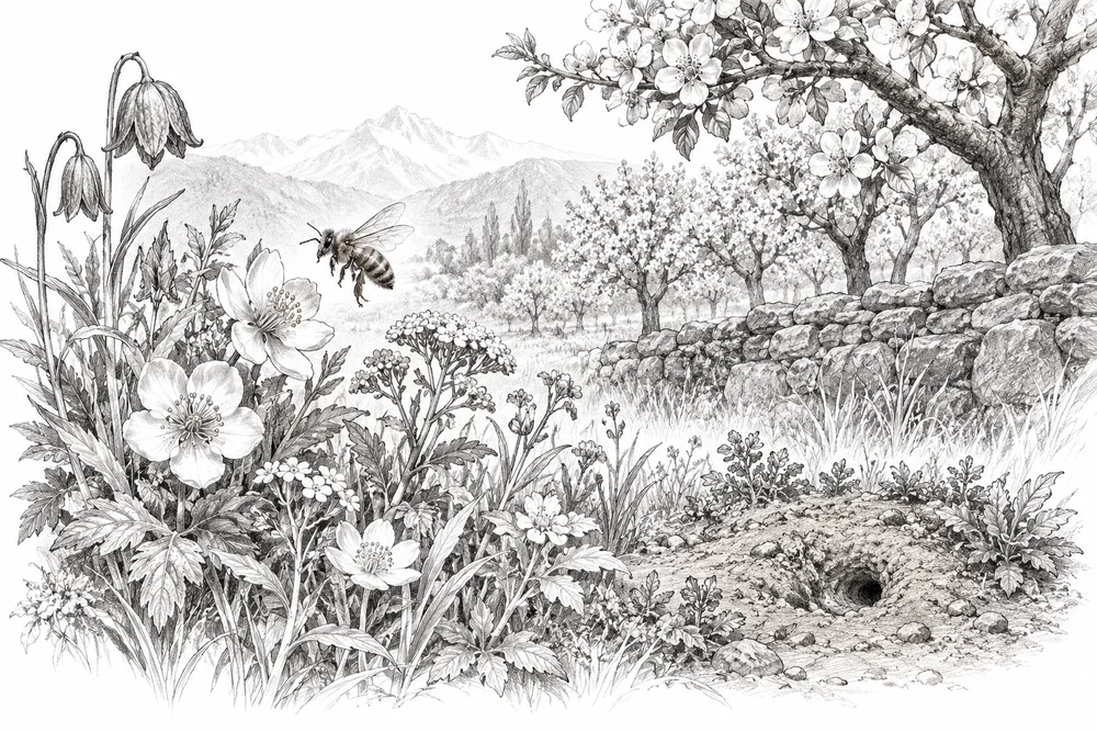
Pencil illustration of varied native flowers and a bee beside an orchard boundary and a small bare-earth nesting patch.

Making safe space for pollinators

Create pesticide-protected field margins and nesting resources using locally suitable plants and seasonal surveys.

Explore
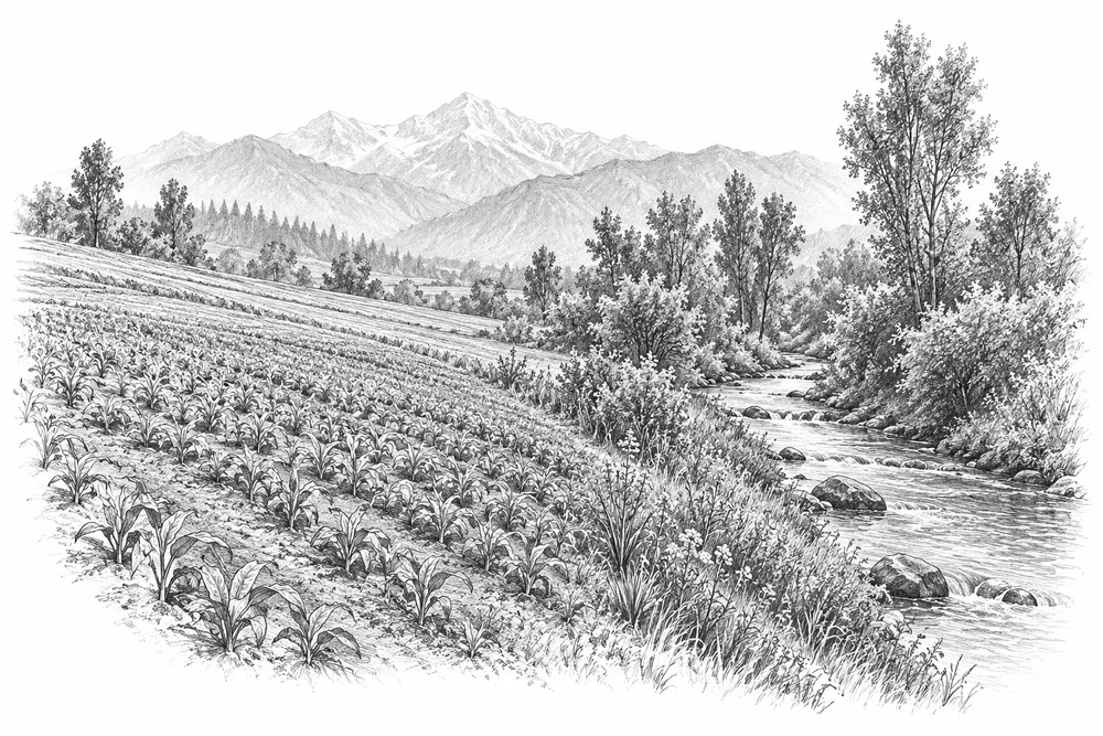
Pencil illustration of a cultivated field sloping toward a stream with a narrow vegetated buffer strip.

Keeping farm nutrients out of water

Locate likely runoff pathways and test practical input management or vegetated buffers with farmers.

Explore
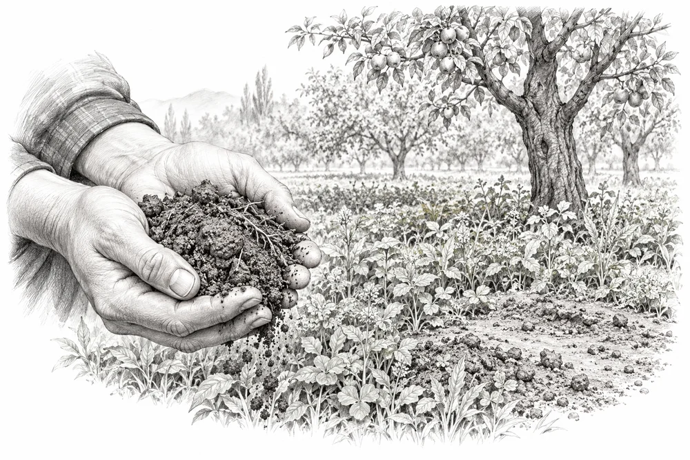
Pencil illustration of hands holding crumbly soil beside orchard ground with living cover and a small bare patch.

Rebuilding soil cover on working land

Assess soil cover, compaction and fertility at selected farms before testing cover or soil-organic-matter management.

Explore
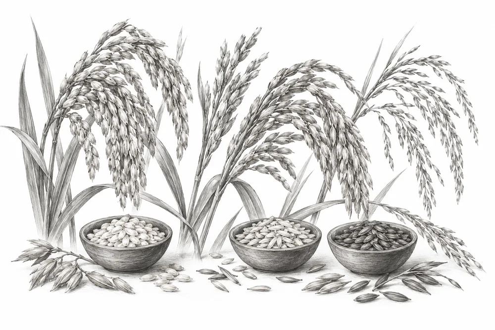
Pencil illustration of a botanical pencil study of different rice panicles and small open bowls of seed.

Keeping local crop varieties in use

Document which traditional varieties remain in use and explore farmer-led conservation with seed institutions.

Explore
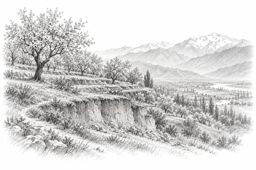
Pencil illustration of terraced Karewa plateau with orchard trees and a small exposed soil cut, distant valley.

Understanding change on Karewa land

Map local land-use transitions and soil removal, then identify feasible farmer and community stewardship options.

Explore

07Towns & everyday places

6 opportunities

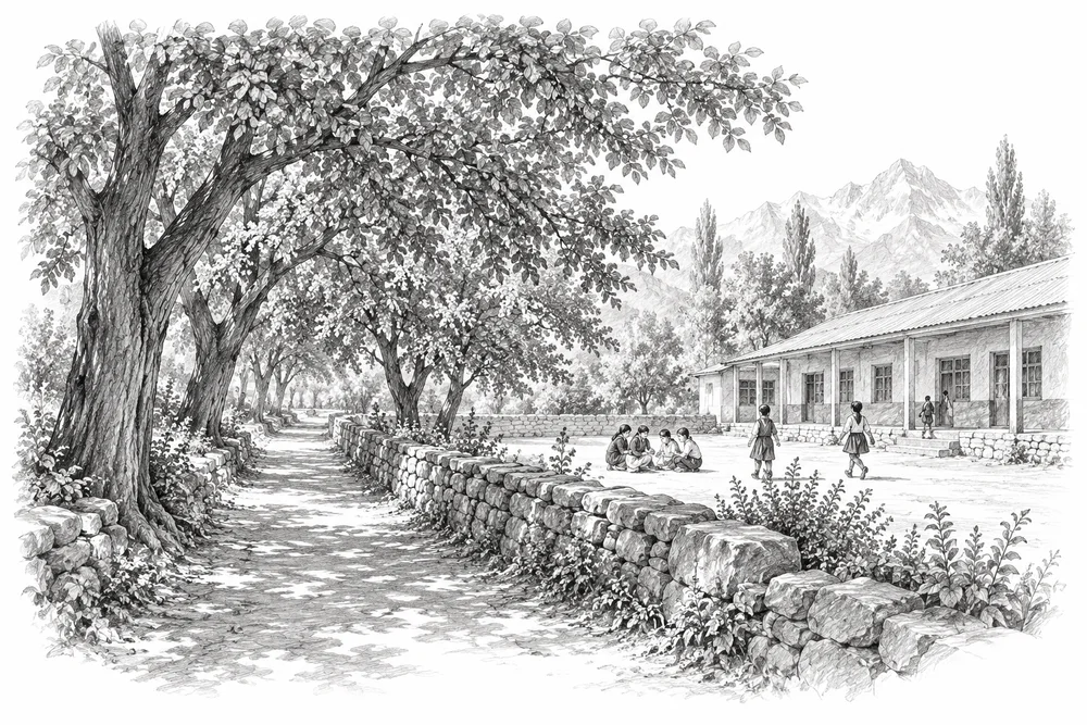
Pencil illustration of a public path shaded by mature broadleaf trees beside a small open school courtyard.

Growing shade with lasting care

Map canopy gaps and develop shade-and-habitat projects with long-term tree care at suitable public sites.

Explore
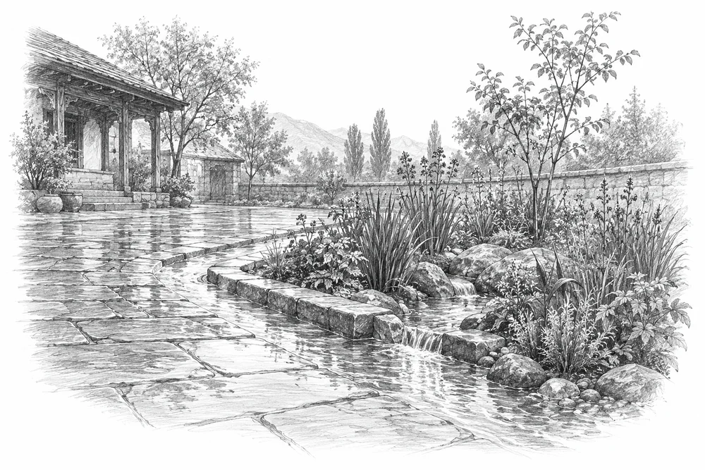
Pencil illustration of a paved public courtyard beside a shallow planted rain garden, rainwater following a visible surface path.

Letting public landscapes hold water

Assess opportunities to retain infiltration and surface-water routes in selected public landscapes.

Explore
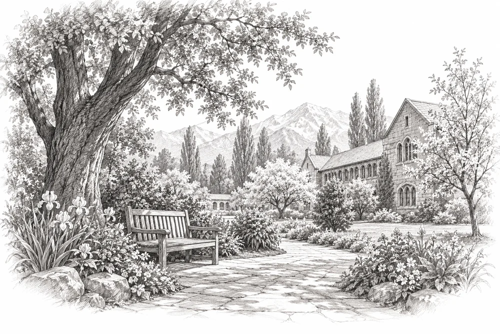
Pencil illustration of a quiet school or campus garden with mature trees, native flowers and a simple bench.

Finding habitat in everyday places

Explore appropriate habitat care in schools, parks, graveyards and campuses with their users and custodians.

Explore
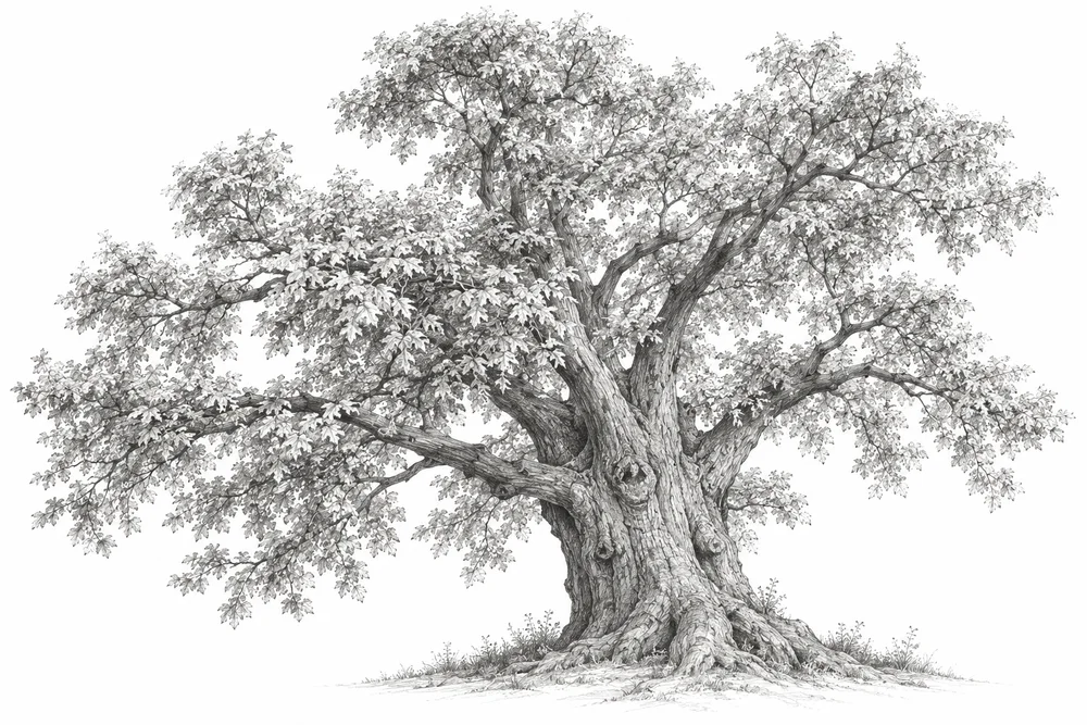
Pencil illustration of a large old chinar tree with a broad trunk and spreading canopy, detailed graphite bark.

Caring for mature trees

Inventory valuable existing trees, including chinars where appropriate, and develop qualified tree-care plans.

Explore
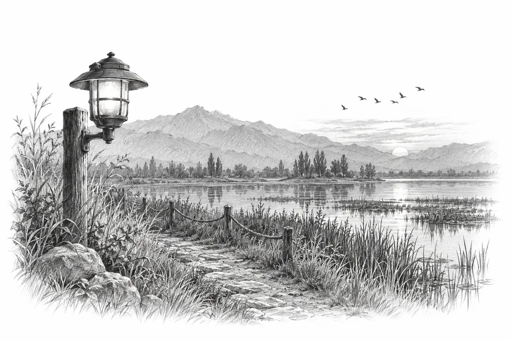
Pencil illustration of a shielded outdoor lamp beside a wetland path at dusk rendered only in graphite, distant birds.

Keeping unnecessary light off habitat

Audit unnecessary spill and timing near wetlands or wildlife routes, then test targeted, controlled lighting.

Explore
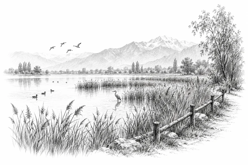
Pencil illustration of a quiet lakeside bird refuge with reeds and a path kept at a distance by a simple low boundary.

Making space for quieter habitat

Measure disturbance near sensitive habitat and explore seasonal quiet areas and better visitor arrangements.

Explore

08Waste & pollution

7 opportunities

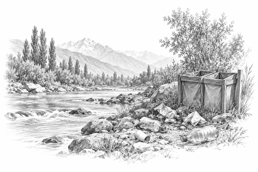
Pencil illustration of a riverbank with a few discarded wrappers and bottles beside a simple sorting container.

Stopping litter before it reaches habitat

Build a small collection-and-prevention system with a verified destination for every material stream.

Explore
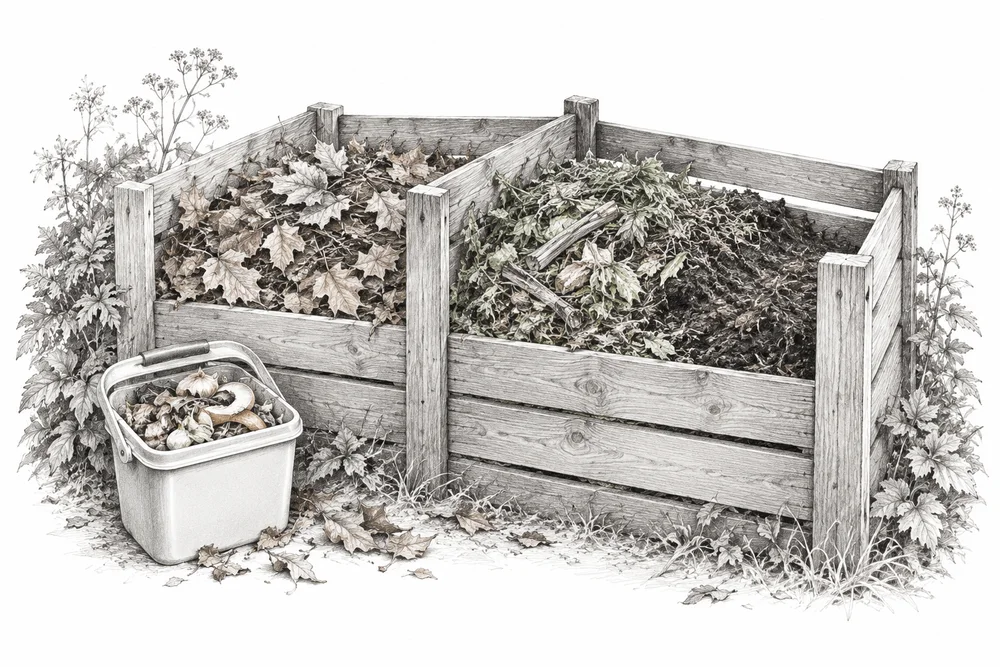
Pencil illustration of a well-managed compost bay with dry leaves, chopped garden material and a small kitchen caddy.

Giving food and garden waste a useful route

Test separation, waste prevention and well-operated composting at a market, campus or neighbourhood.

Explore
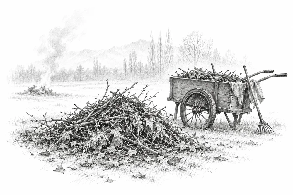
Pencil illustration of a small cold pile of garden residues beside a collection cart, a faint distant smoke wisp.

Replacing open burning with workable options

Identify local burning sources and pair behaviour change with workable collection or material-use alternatives.

Explore
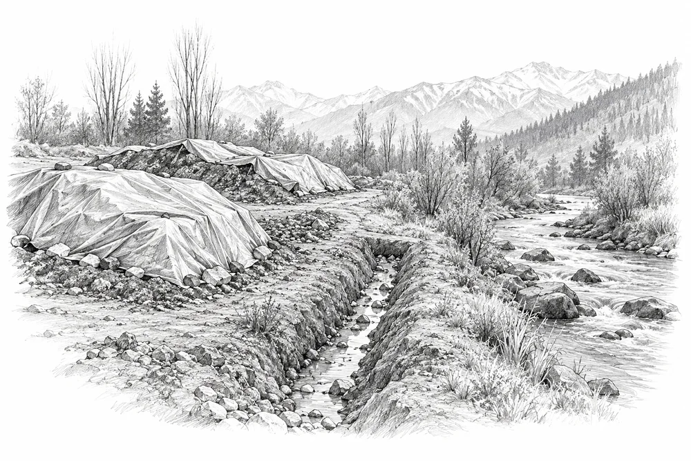
Pencil illustration of a waste-site edge with covered piles and a drainage ditch leading toward a stream, no people.

Following runoff from waste sites

Map water pathways from a selected waste site and support the responsible agency with monitoring and remediation options.

Explore
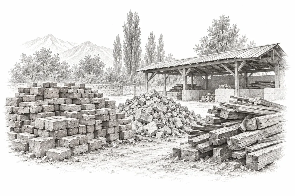
Pencil illustration of separated piles of reusable bricks, clean rubble and timber beside a simple receiving yard.

Keeping building waste out of open land

Check local disposal practices and develop a source-separation, reuse or accountable receiving-site pilot.

Explore
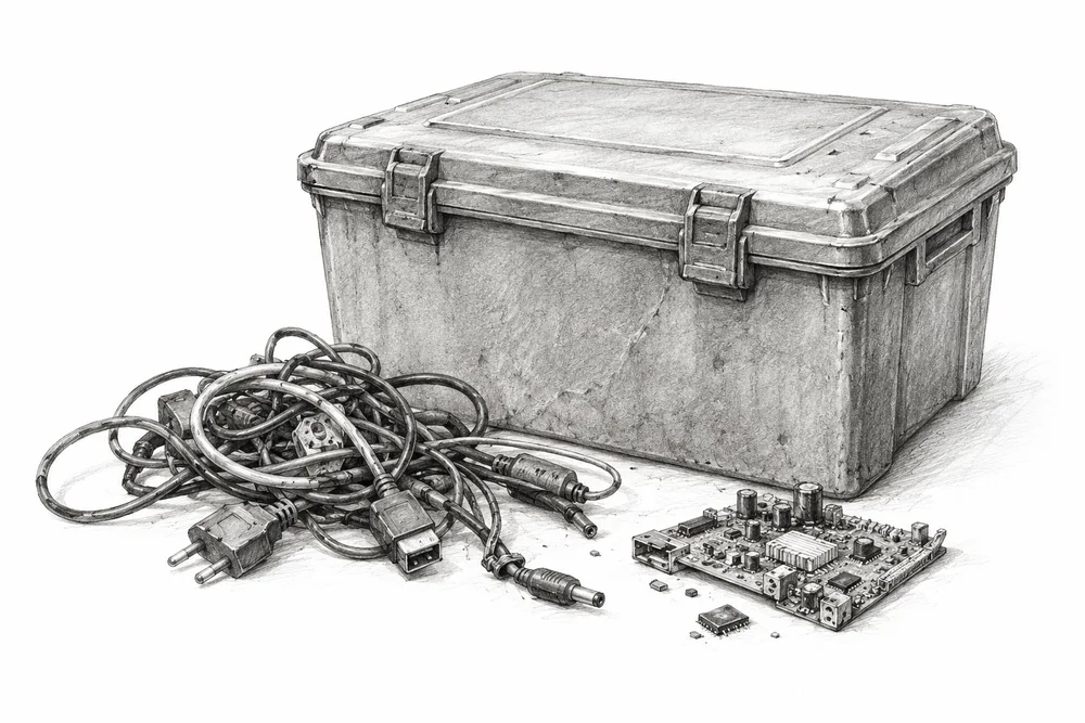
Pencil illustration of a closed electronic-waste collection box with old cables and a small disconnected circuit board nearby.

Closing gaps in specialist waste handover

Verify the actual waste streams and strengthen handover to authorised specialist handlers where gaps are found.

Explore
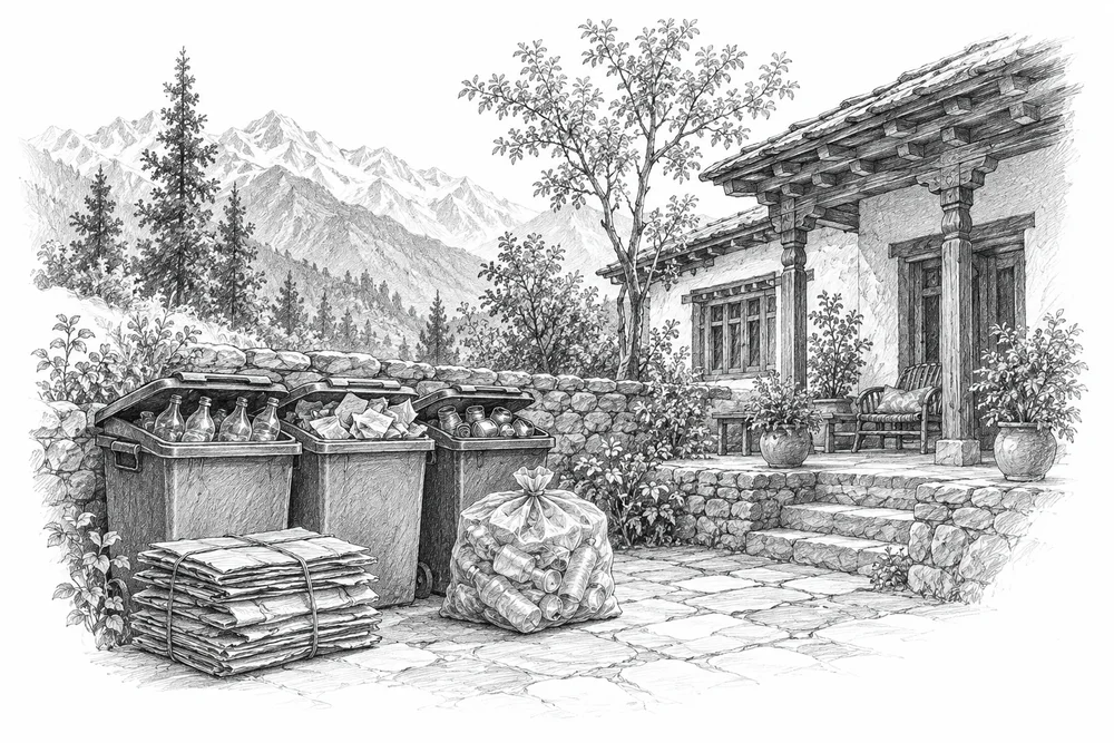
Pencil illustration of a small mountain guesthouse courtyard with separate collection containers and packed recyclable material.

Building a dependable destination waste system

Work with one destination's businesses and local bodies on prevention, separation, collection and receiving arrangements.

Explore

09Climate & water

5 opportunities

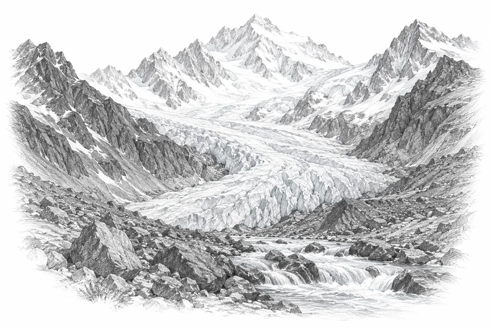
Pencil illustration of a Himalayan glacier descending between rocky ridges into a meltwater stream.

Connecting glacier evidence to downstream choices

Support glacier and catchment observation partnerships and use the evidence for downstream adaptation planning.

Explore
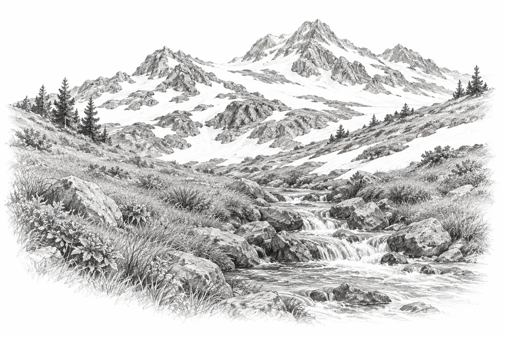
Pencil illustration of snow patches on a Himalayan slope above a small flowing stream, exposed grass lower down.

Following snow and seasonal water

Track local snow persistence and stream seasonality; retain basin differences and years of greater snow cover.

Explore
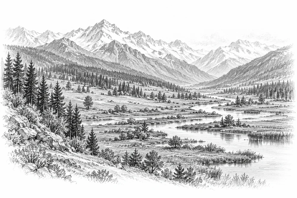
Pencil illustration of a broad catchment landscape showing forest, meadows, a wetland and a winding river.

Caring for catchments that store and release water

Identify where retaining wetlands, soils and vegetation could improve resilience, with site-specific hydrological evaluation.

Explore
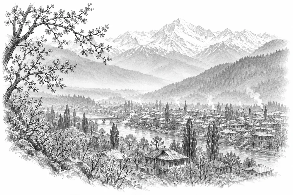
Pencil illustration of a Himalayan valley town with faint haze, a few chimneys and foreground tree branches.

Choosing practical air-pollution reductions

Use source evidence to choose practical local emission-reduction projects and account for transported pollution.

Explore
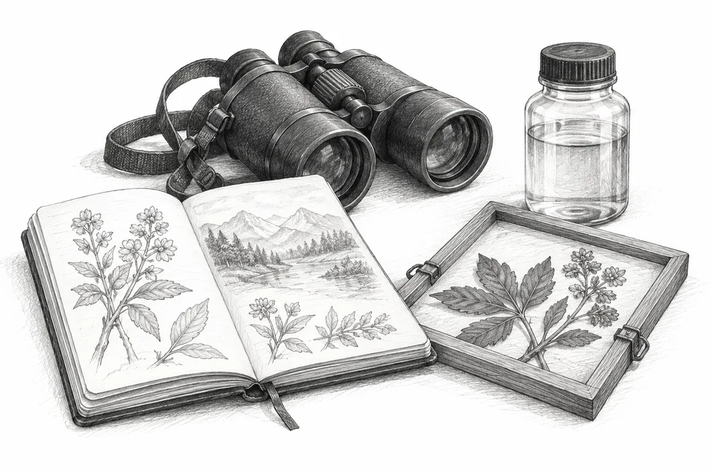
Pencil illustration of a field notebook, binoculars, water sample bottle and botanical observation frame on a white surface.

Building evidence that can be repeated

Build a quality-controlled seasonal observation network that can show whether CCK projects change ecological condition.

Explore

Pencil illustrations are editorial concepts, not records of surveyed sites or completed work.

From the Council’s work

View our initiatives

Urban design

Design for public spaces and neighbourhoods, informed by natural systems.

Explore urban opportunities

Tree planting · Darbal, Bemina

A community tree-planting drive announced for March 2024.

View the initiative

Waste reduction and education

Reusable bags in Harwan, and cleanup initiatives in Yusmarg and Dara.

View the initiatives

Kashmir natural history collection

Regional plant and animal records, with classification, status and sources.

Explore the collection

Land use and environmental planning

The relationship between settlements, land use and ecological systems.

Explore planning opportunities

Architecture and resources

Building design, local conditions and the use of materials and resources. No projects published in this category yet.